Pantanal, Tropical wetland in Mato Grosso and Mato Grosso do Sul, Brazil
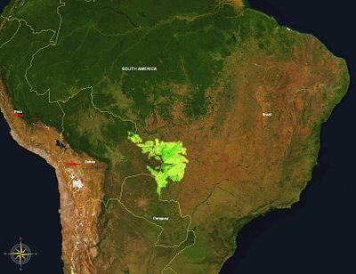
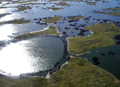
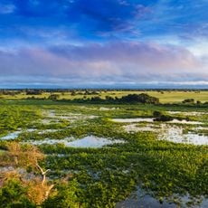
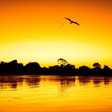
The Pantanal stretches across 195,000 square kilometers in Brazil where marshes, grasslands, rivers and lakes come together during seasonal rains to form a branching network of waterways. The landscape shifts dramatically between wet and dry months as water spreads over flat plains and creates temporary islands where wildlife gathers.
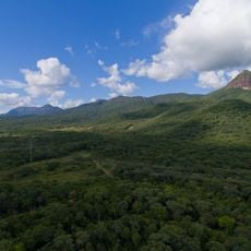
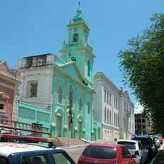
The region formed during the Tertiary period through geological processes linked to the rise of the Andes that created a complex water drainage system. Indigenous groups lived here for centuries before European settlers established cattle farms in the 18th century that still shape how the land is used today.
Cattle ranchers live with their families on large farms where horses are essential for daily work and old routines follow the changing seasons. Visitors can join horseback rides and watch how people cope with floods by moving herds to higher ground and setting up temporary camps.
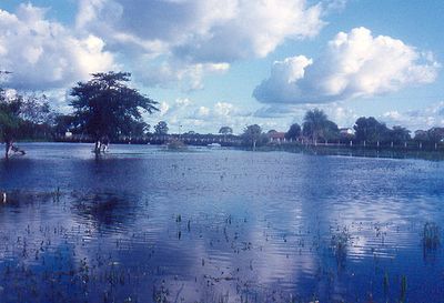
The dry season between April and September offers optimal conditions for wildlife observation when specialized guides lead boat tours through water channels. Visitors who come during the rainy season from October to March see more water and fewer animals but need weatherproof gear and should know that some routes become impassable.
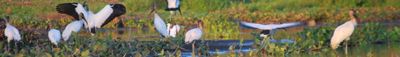
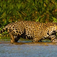
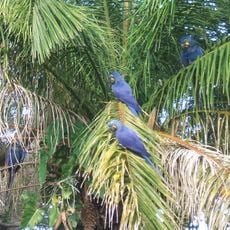
This wetland is home to 463 bird species, 269 fish species and 236 mammal species including the densest jaguar population in South America. During floods deer and anteaters swim between trees while caimans gather in shallow pools that form as water recedes.
The community of curious travelers
AroundUs brings together thousands of curated places, local tips, and hidden gems, enriched daily by 60,000 contributors worldwide.