Enable Location

We need your location to show you interesting places around you

Discover nearby places

Find interesting locations and hidden gems around you

Precise directions

Get accurate directions and distances to places

Your location is never shared with other users. It's only used when you tap the location button.

Mato Grosso

Log in to your account

Start exploring — it's free

Trusted by 62,831 travelers worldwide

Continue with Google
Continue with Apple
or

We will send you a code to connect

By continuing, you accept our Terms and Conditions and our Privacy Policy

Check your inbox

We've sent a pincode in your inbox. Please enter the code below.

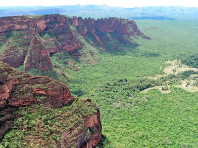
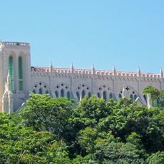
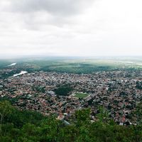
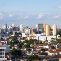
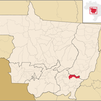
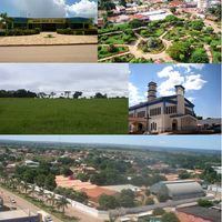
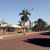
Mato Grosso, State administrative division in Central-West Region, Brazil

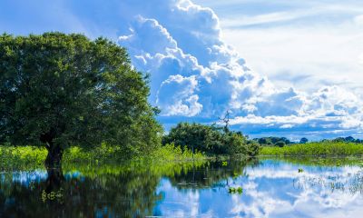
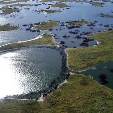
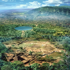
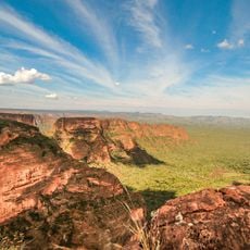
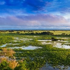
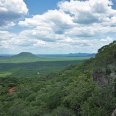
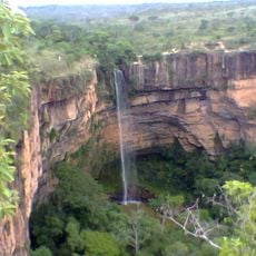
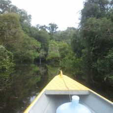
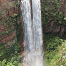
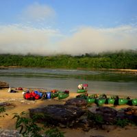
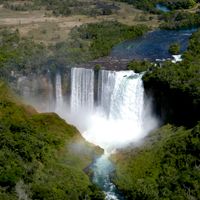
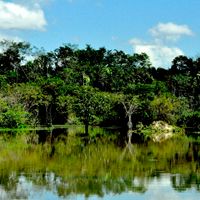
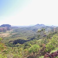
Mato Grosso is an administrative division in the interior of Brazil that extends from tropical forests in the north to wetland areas in the south. Vegetation shifts between dense jungle, open savanna, and wide floodplains that change appearance with the seasons.

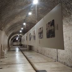
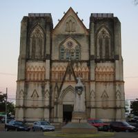
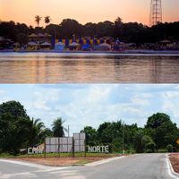
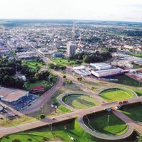
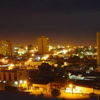
The region was opened during the 18th-century gold rush, when settlers from São Paulo pushed deep into the interior. The capital was established at Cuiabá, founded as a mining post on a river in the middle of the forest.

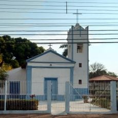
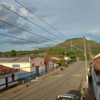
The name comes from the Tupi language and means »thick forest«, a term that still refers to the large wooded areas in the north. Rodeos and cattle ranching shape the life of many communities, where cowboys demonstrate their skills with livestock during festivals.

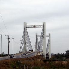
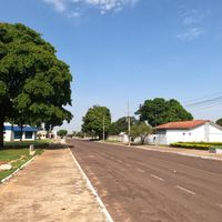
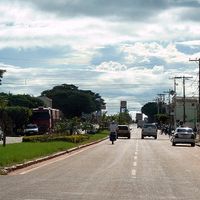
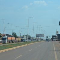
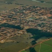
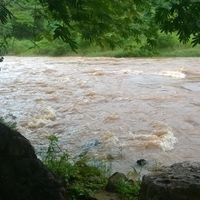
Travel between towns takes time due to long distances and unpaved roads in remote areas. The rainy season from November to March makes some routes difficult to pass, especially in the wetlands and at the edge of the Amazon.

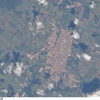
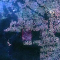
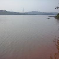
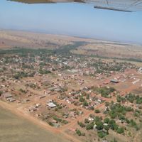
More than half of the soy harvest is shipped directly to China, a connection visible in many river ports and warehouses along the Teles Pires. On some farms, fields stretch so far that pilots use them as landmarks when flying.

The community of curious travelers

AroundUs brings together thousands of curated places, local tips, and hidden gems, enriched daily by 60,000 contributors worldwide.

Start exploring
Location
Inception
1889
Capital city
Cuiabá
Elevation above the sea
408 m
Reference
MT
Part of
Central-West Region, South America Midwest Integrated Zone
Shares border with
Rondônia, Amazonas, Pará, Tocantins, Goiás, Mato Grosso do Sul, Santa Cruz Department
Address
State of Mato Grosso, Brazil
GPS coordinates
-12.83333,-56.31667
Latest update
December 14, 2025 22:11
« Mato Grosso - State administrative division in Central-West Region, Brazil » is provided by Around Us (aroundus.com). Images and texts are derived from Wikimedia project under a Creative Commons license. You are allowed to copy, distribute, and modify copies of this page, under the conditions set by the license, as long as this note is clearly visible.

Discover hidden gems everywhere you go!

From secret cafés to breathtaking viewpoints, skip the crowded tourist spots and find places that match your style. Our app makes it easy with voice search, smart filtering, route optimization, and insider tips from travelers worldwide. Download now for the complete mobile experience.

Around Us App Screenshot

A unique approach to discovering new places

Le Figaro

All the places worth exploring

France Info

A tailor-made excursion in just a few clicks

20 Minutes

Around Us
Travel Guide & Maps
Download

Send to your phone

QR Code
1

Open the camera app on your mobile.

2

Point at the QR code with your camera. A notification will appear.

3

Tap the notification to open the link.