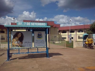
Alto Garças, Agricultural municipality in Mato Grosso, Brazil
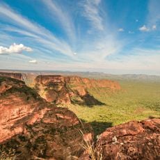
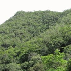
Alto Garças is a municipality in southeastern Mato Grosso that covers a large expanse of agricultural land in Brazil. The town sits at moderate elevation and serves as a regional hub connecting different parts of the state.
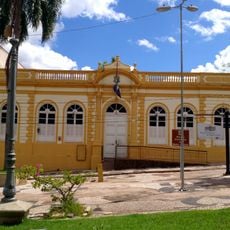
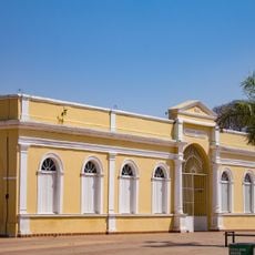
The area began as a district of Santa Rita do Araguaia before gaining independence as its own municipality in 1953. This separation marked a turning point for local governance and regional development.
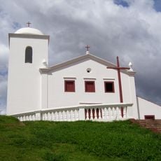
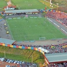
The municipality celebrates Garçafolia during carnival season and holds festivities honoring Nossa Senhora de Aparecida every October 12th.
The municipality connects to larger cities through road networks and sits roughly 350 kilometers from the state capital Cuiabá. Travel to Brasília involves a longer journey through the region's varied landscape.
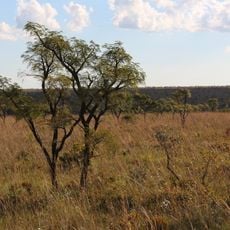
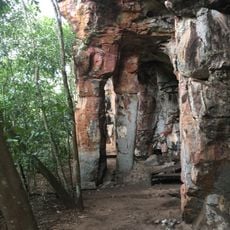
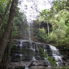
The place is known for diamond mining operations in the area, which represents an interesting economic aspect of local industry. Beyond this activity, large-scale soy and cotton production has become the primary economic focus.
Location: Mato Grosso
Elevation above the sea: 754 m
Shares border with: Araguainha, Alto Araguaia, Guiratinga, Itiquira, Pedra Preta, Ponte Branca, Torixoréu
Website: http://altogarcas.mt.gov.br
GPS coordinates: -16.94389,-53.52778
Latest update: December 10, 2025 15:53
Chapada dos Guimarães National Park
309.7 km
Emas National Park
142.5 km
Church of Our Lady of the Rosary and Saint Benedict
312.4 km
Mãe Bonifácia State Park
314.5 km
Cathedral Basilica of the Good Lord Jesus, Cuiabá
312.7 km
Ponte Sérgio Motta
309.6 km
Palácio Paiaguás
312.4 km
Igreja Nossa Senhora do Bom Despacho
312.5 km
Stade Engenheiro Luthero Lopes
126.5 km
Igreja de Nossa Senhora Auxiliadora
312.5 km
Museu do Morro da Caixa D'Água Velha
313.1 km
Igreja de Nossa Senhora da Guia
313.2 km
Serra Azul State Park
187.8 km
Mato Grosso Historical Museum
312.7 km
Museu do Rio Cuiabá
312.8 km
Museu Rondon
309.5 km
Museu de Arte e de Cultura Popular
308.9 km
Caverna Aroe Jari
258.1 km
Águas Quentes State Park
242.9 km
Holy Spirit Cathedral, Jataí
218.4 km
Itaicy Factory
272.1 km
Museum of Image and Sound of Cuiabá
312.6 km
Igreja da Sé de Santana
289.2 km
Teatro Universitário
309 km
Rock art sites of Alcinópolis
154.8 km
Cachoeira do Prata
180.6 km
Multiplex Pantanal
312.1 kmVisited this place? Tap the stars to rate it and share your experience / photos with the community! Try now! You can cancel it anytime.
Discover hidden gems everywhere you go!
From secret cafés to breathtaking viewpoints, skip the crowded tourist spots and find places that match your style. Our app makes it easy with voice search, smart filtering, route optimization, and insider tips from travelers worldwide. Download now for the complete mobile experience.
A unique approach to discovering new places❞
— Le Figaro
All the places worth exploring❞
— France Info
A tailor-made excursion in just a few clicks❞
— 20 Minutes