Comodoro, Administrative division in Mato Grosso, Brazil
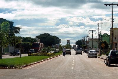
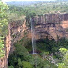
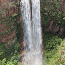
Comodoro is an administrative division in Mato Grosso in Brazil's Central-West Region. The municipality spreads across agricultural areas, forests, and waterways that are crossed by the federal highway BR-364.
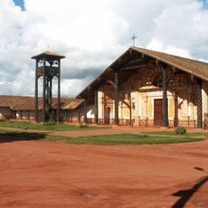
The area was originally inhabited by indigenous peoples before the Nambiquaras Telegraph Line was completed in 1911, opening it to outside connection. This infrastructure led to rubber extraction activities and later large-scale agricultural settlement from 1983 onward.
The Nambikwará and Enawenê-nawê peoples inhabit reserved territories within the municipality, shaping how communities relate to the land and its resources. Their presence influences local traditions and how people view the surrounding forests and rivers.
The BR-364 federal highway connects the area to Cuiabá to the east and extends west toward Porto Velho and the Peruvian border. Visitors should expect large distances between populated areas and plan accordingly when exploring the municipality.
A major colonization project in 1983 brought thousands of settler families from Southern Brazil who rapidly transformed the landscape into farmland within a single generation. This swift agricultural expansion made it a striking example of modern development on the edge of the Amazon region.
The community of curious travelers
AroundUs brings together thousands of curated places, local tips, and hidden gems, enriched daily by 60,000 contributors worldwide.