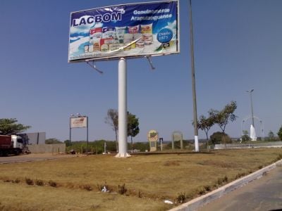
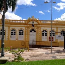
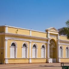
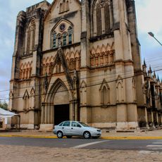
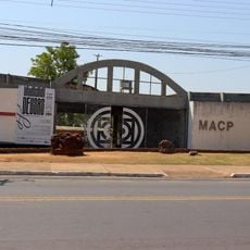
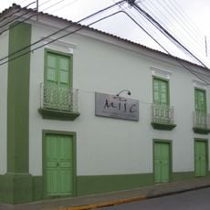
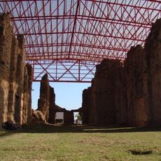
Araputanga, Agricultural municipality in Mato Grosso, Brazil
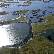
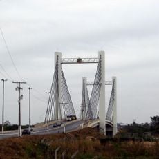
Araputanga is a municipality in southwestern Mato Grosso that covers a broad area in a low-elevation region. The municipal territory is dominated by farmland and pastures that form the economic foundation of the area.
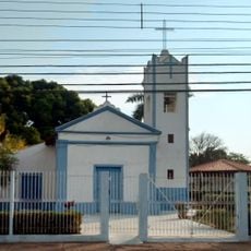
The settlement developed on land originally inhabited by indigenous peoples and later grew into an established municipality. This growth was tied to agricultural expansion in the Central-West Region.
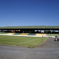
The community here is deeply rooted in farming and ranching, with local events tied to harvest seasons and cattle raising.
The town is accessible by car and provides basic services for visitors and residents. Local administration can be reached directly if you need information or assistance.
The area experiences marked temperature shifts between seasons, which shapes daily life and work routines. These climate patterns influence how people approach farming and other seasonal activities throughout the year.
The community of curious travelers
AroundUs brings together thousands of curated places, local tips, and hidden gems, enriched daily by 60,000 contributors worldwide.