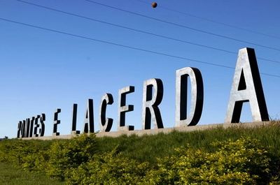
Pontes e Lacerda, Administrative municipality in Mato Grosso, Brazil.
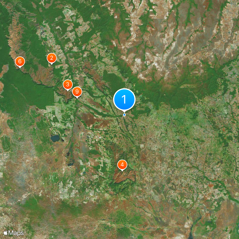
Pontes e Lacerda is a municipality in western Mato Grosso covering roughly 8,400 square kilometers at an elevation of 287 meters (941 feet). The landscape is largely shaped by the Serra de Santa Bárbara State Park, which dominates much of the local terrain.
The town was officially established on December 29, 1979, bringing structured local administration to this area of Mato Grosso for the first time. This founding marked the beginning of organized governance in the region.
Residents here are known as Lacerdense and celebrate their heritage through community festivals and gatherings that mark the rhythm of local life. These events bring neighbors together and reflect how people maintain their connection to the region.
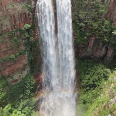
The Serra de Santa Bárbara State Park offers chances for hiking and wildlife watching across its natural landscape. Visitors should prepare for tropical weather and varied terrain conditions.
The town sits at a crossroads, bordering six different neighboring municipalities across the region. This central location connects several distinct parts of Mato Grosso.
The community of curious travelers
AroundUs brings together thousands of curated places, local tips, and hidden gems, enriched daily by 60,000 contributors worldwide.