Campos Amazônicos National Park, National park across Rondônia, Amazonas, and Mato Grosso, Brazil.
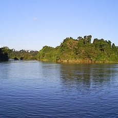
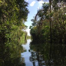
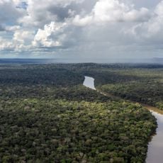
Campos Amazônicos National Park encompasses roughly 961,000 hectares and integrates diverse habitats including dense forest, open grasslands, and seasonally flooded areas. This varied landscape exists where Rondônia, Amazonas, and Mato Grosso states converge.
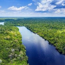
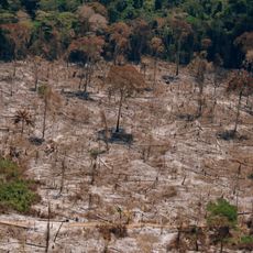
The park was created in 2006 to protect the region's biological diversity and ecological processes. This action aimed to safeguard critical river systems including the Machado, Branco, Roosevelt, and Guaribas.
The Tenharim, Jiahui, and Piripkura peoples have inhabited the overlapping and bordering territories for generations. Their presence shapes how the region functions and reflects a deep connection to the forest that visitors can sense when exploring the area.
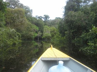
The park is remote and lacks developed road infrastructure, making access possible only by boat or small aircraft. Visitors should prepare for limited facilities and check conditions ahead of arrival.
The territory displays an unexpected mix of tropical rainforest and open savanna landscapes within a relatively small area. This rare combination emerges from the convergence of different geographic and climatic zones where three states meet.
The community of curious travelers
AroundUs brings together thousands of curated places, local tips, and hidden gems, enriched daily by 60,000 contributors worldwide.