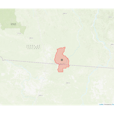
Guarantã do Norte, Administrative division in Mato Grosso, Brazil.
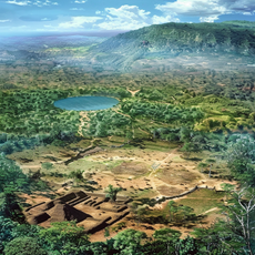
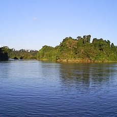
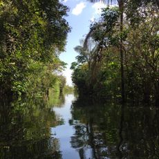
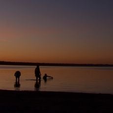
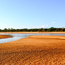
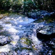
Guarantã do Norte is a municipality in northern Mato Grosso, spreading across a large area of land at roughly 360 meters elevation. The territory is primarily agricultural and reflects the landscape character of Brazil's Central-West region.
The municipality received official recognition on May 13, 1986, following a period of settlement driven by agricultural expansion in Brazil's Central-West region. This wave of migration fundamentally shaped the area's population and economic direction.
The name Guarantã comes from indigenous languages and shows the strong influence of native Brazilian peoples on how the region is named and its heritage. Local identity remains tied to this linguistic connection.
The area is easy to navigate and is governed from the municipal administration building on Rua das Oliveiras in the Jardim Vitória neighborhood. Basic services and facilities are organized to serve a rural community of roughly 36,000 people.
The location sits at the boundary between two different time zones that shift between UTC-4 and UTC-3 depending on the season. This time zone quirk is often overlooked but does affect daily routines.
Location: Mato Grosso
Elevation above the sea: 345 m
Shares border with: Matupá, Altamira, Novo Mundo, Novo Progresso
Website: http://guarantadonorte.mt.gov.br
GPS coordinates: -9.78778,-54.91000
Latest update: December 7, 2025 10:06
Kuhikugu
365.7 km
Chapada dos Guimarães National Park
622.8 km
Manso Dam
573.8 km
Cantão State Park
531.3 km
Araguaia National Park
532.5 km
Carajás National Forest
667.1 km
Juruena National Park
414.9 km
Tapajós hydroelectric complex
596.7 km
Cristalino State Park
86.4 km
Kayapó Indigenous Territory
408.6 km
Serra do Pardo National Park
494.4 kmApyterewa Indigenous Territory
558.8 km
Jamanxim National Park
462.7 km
Rio Novo National Park
272.1 km
Gruta da Lagoa Azul State Park
545.1 km
Caverna Aroe Jari
622 km
Jamanxim National Forest
267 km
Tapajós Environmental Protection Area
415.2 km
Araguaia State Park
531 km
Xingu State Park
254.1 km
Águas do Cuiabá State Park
505.4 km
Ilha do Bananal / Cantão Environmental Protection Area
590.7 km
Crepori National Forest
432.5 km
Itaituba II National Forest
533 km
Trairão National Forest
547.8 km
Terra Indígena Panará
92.4 km
Rio Xingu Extractive Reserve
649.4 km
Cachoeira do Funil
633.7 kmVisited this place? Tap the stars to rate it and share your experience / photos with the community! Try now! You can cancel it anytime.
Discover hidden gems everywhere you go!
From secret cafés to breathtaking viewpoints, skip the crowded tourist spots and find places that match your style. Our app makes it easy with voice search, smart filtering, route optimization, and insider tips from travelers worldwide. Download now for the complete mobile experience.
A unique approach to discovering new places❞
— Le Figaro
All the places worth exploring❞
— France Info
A tailor-made excursion in just a few clicks❞
— 20 Minutes