Pantanal Matogrossense National Park, Protected wetland ecosystem in Mato Grosso, Brazil
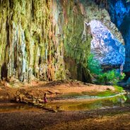
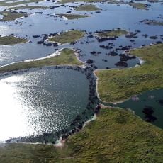
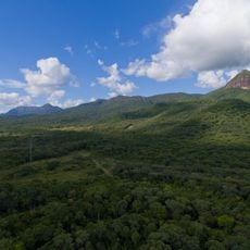
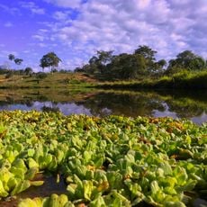
Pantanal Matogrossense National Park covers 135,606 hectares of the Pantanal biome, spanning Corumbá in Mato Grosso do Sul and Cáceres and Poconé in Mato Grosso. The Cuiabá River runs through it, and the Guirá State Park adjoins it to the north. Its vegetation marks a contact zone between Cerrado savanna and seasonal semideciduous forest, with grassland-wood savanna, alluvial forest and lowland forest.
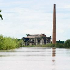
The park was created by decree 86.392 on 24 September 1981, incorporating the former Caracará Biological Reserve, set up in the 1970s, and an old cattle farm left permanently flooded after the great flood of 1974. In the 1980s it served as an operations base against caiman hunters, and its management plan was approved in 2004.
The park's name comes from the Pantanal, the wetland it protects, and from Mato Grosso, the state where most of it lies. Its Ramsar listing dates from 1993, when it was named a Wetland of International Importance. The Cuiabá River crosses the park, and the Guirá State Park borders it to the north.
The park is not generally open to visitors; access is by boat along the Cuiabá River, which crosses it, and the surrounding Pantanal is reached via Poconé in Mato Grosso. The dry season runs from May to September, the rainy season from October to April, with December and February the wettest months. Temperatures average 23 to 25 °C and can exceed 40 °C.
The park absorbed the former Caracará Biological Reserve, created in the 1970s, and an old cattle farm that stayed permanently flooded after the great flood of 1974. In the 1980s it served as an operations base against caiman poachers. Its management plan was only approved in 2004.
The community of curious travelers
AroundUs brings together thousands of curated places, local tips, and hidden gems, enriched daily by 92,787 contributors worldwide.