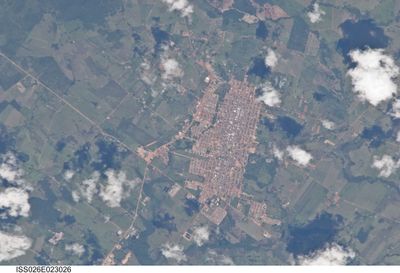
Alta Floresta, Economic center in northern Mato Grosso, Brazil
Alta Floresta is a town in northern Mato Grosso that serves as an economic center for the region. The municipality spreads across a wide area at moderate elevation, where agriculture and commerce shape daily life.
The town was founded in 1976 as part of Brazil's agricultural expansion into northern regions. This founding shaped its development and remains central to the area's economic focus.
The local community maintains strong ties to farming and organizes regular regional gatherings and social programs throughout the year. These activities shape how people here spend their time and how the place functions day by day.
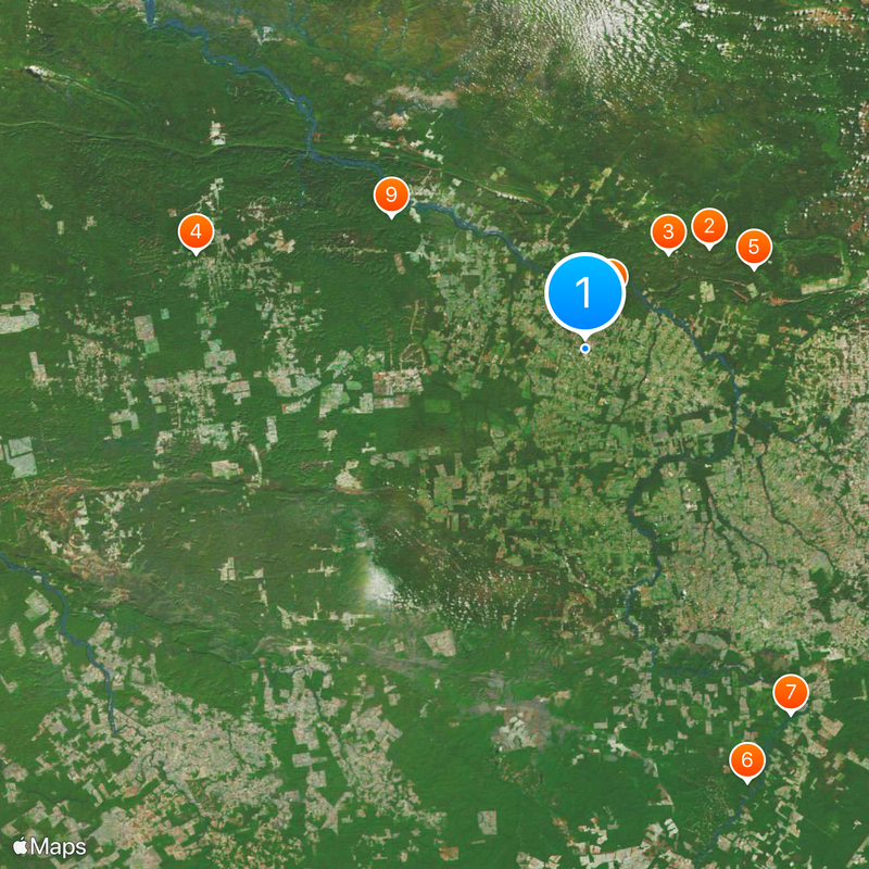
The airport connects the town to major Brazilian transportation networks and serves as the main entry point. Regular flights make it possible to reach this remote location without difficulty.
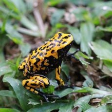
A large state park protects natural resources near the town and provides habitat for many plants and animals. This protected area sets the place apart from most other economic centers in Brazil.
The community of curious travelers
AroundUs brings together thousands of curated places, local tips, and hidden gems, enriched daily by 60,000 contributors worldwide.