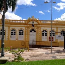
Colíder, Municipality in Mato Grosso, Brazil
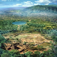
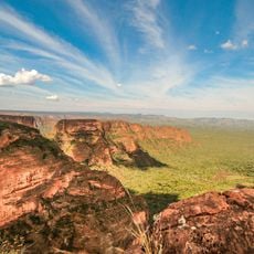
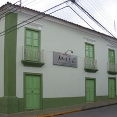
Colíder is a municipality in Mato Grosso state in Brazil, located within the Cerrado ecosystem region. The town functions as a local administrative center serving the surrounding rural areas and farming communities.
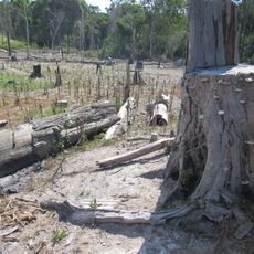
Colíder was founded during the agricultural expansion period in Mato Grosso state in the late 20th century. This growth phase transformed the region from frontier land into an organized settlement with municipal infrastructure.
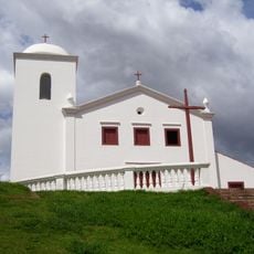
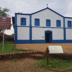
The town reflects the values of agricultural communities where farming traditions shape daily life and social gatherings. Local celebrations and family-centered events show how residents maintain ties to the land and to one another.
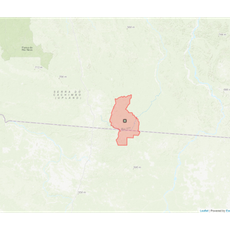
The town is connected to neighboring municipalities through main highways that make travel within the region straightforward. A car is useful for exploring the surrounding countryside and visiting rural areas outside the town center.
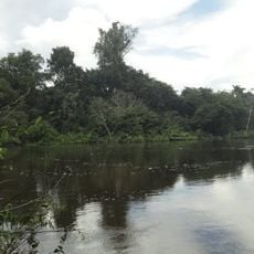
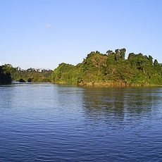
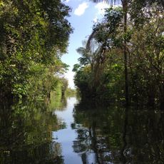
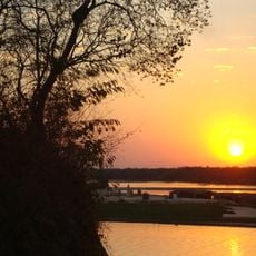
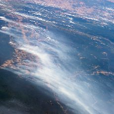
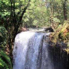
The Teles Pires River, which flows some distance from the town, is home to a large hydroelectric dam that shapes regional energy production. This infrastructure project has become a defining element of how the area manages its water and power resources.
GPS coordinates: -10.80950,-55.45404
Latest update: December 7, 2025 19:25
Kuhikugu
321.1 km
Chapada dos Guimarães National Park
502.3 km
Church of Our Lady of the Rosary and Saint Benedict
537.2 km
Mãe Bonifácia State Park
535.6 km
Cathedral Basilica of the Good Lord Jesus, Cuiabá
537.5 km
Palácio Paiaguás
533.8 km
Igreja Nossa Senhora do Bom Despacho
538 km
Museu do Morro da Caixa D'Água Velha
537.8 km
Juruena National Park
441 km
Cristalino State Park
144.6 km
Mato Grosso Historical Museum
537.6 km
Kayapó Indigenous Territory
525.8 km
Jamanxim National Park
566.1 km
Rio Novo National Park
352.9 km
Gruta da Lagoa Azul State Park
422.8 km
Caverna Aroe Jari
507.1 km
Jamanxim National Forest
365.7 km
Tapajós Environmental Protection Area
497.9 km
Araguaia State Park
534.7 km
Xingu State Park
332.1 km
Águas do Cuiabá State Park
389.5 km
Museum of Image and Sound of Cuiabá
537.2 km
Crepori National Forest
509.1 km
Igreja da Sé de Santana
518.6 km
Terra Indígena Panará
210.2 km
Cachoeira do Funil
510 km
Multiplex Pantanal
535.3 kmVisited this place? Tap the stars to rate it and share your experience / photos with the community! Try now! You can cancel it anytime.
Discover hidden gems everywhere you go!
From secret cafés to breathtaking viewpoints, skip the crowded tourist spots and find places that match your style. Our app makes it easy with voice search, smart filtering, route optimization, and insider tips from travelers worldwide. Download now for the complete mobile experience.
A unique approach to discovering new places❞
— Le Figaro
All the places worth exploring❞
— France Info
A tailor-made excursion in just a few clicks❞
— 20 Minutes