Enable Location

We need your location to show you interesting places around you

Discover nearby places

Find interesting locations and hidden gems around you

Precise directions

Get accurate directions and distances to places

Your location is never shared with other users. It's only used when you tap the location button.

Campo Verde

Log in to your account

Start exploring — it's free

Trusted by 62,835 travelers worldwide

Continue with Google
Continue with Apple
or

We will send you a code to connect

By continuing, you accept our Terms and Conditions and our Privacy Policy

Check your inbox

We've sent a pincode in your inbox. Please enter the code below.

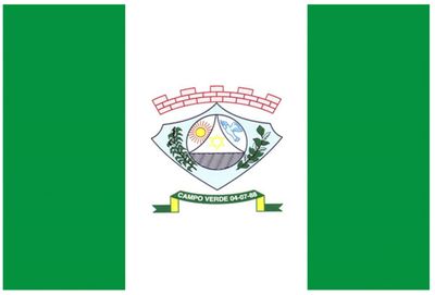
Campo Verde, Agricultural municipality in Mato Grosso, Brazil

Campo Verde is an agricultural municipality in central-western Brazil defined by soy cultivation across rolling farmland. The terrain and climate of this region support large-scale farming operations that form the local economy.

The settlement started in 1886 when the Borges and Fernandes families arrived and began farming the land. A gas station opened in the 1960s, which marked a turning point for growth and infrastructure.

The name came from a local vote and refers to the soy fields that shape what the land looks like. These plantations set the rhythm of the year and define how people experience the landscape.

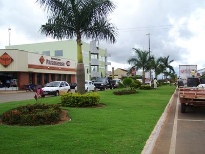
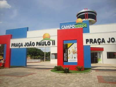
The municipality has schools, health clinics, and government offices distributed throughout the area for residents and visitors. Most services are located in the town center and can be reached on foot or by a short drive.

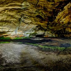
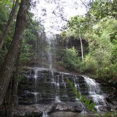
A portion of the territory is protected by the Rio da Casca reserve, designated as a conservation area starting in 1994. This protected area preserves native plants and wildlife in the middle of agricultural land.

The community of curious travelers

AroundUs brings together thousands of curated places, local tips, and hidden gems, enriched daily by 60,000 contributors worldwide.

Start exploring
Location
Elevation above the sea
736 m
Shares border with
Chapada dos Guimarães, Dom Aquino, Jaciara, Nova Brasilândia, Primavera do Leste, Santo Antônio de Leverger
GPS coordinates
-15.54694,-55.16889
Latest update
December 22, 2025 21:28
« Campo Verde - Agricultural municipality in Mato Grosso, Brazil » is provided by Around Us (aroundus.com). Images and texts are derived from Wikimedia project under a Creative Commons license. You are allowed to copy, distribute, and modify copies of this page, under the conditions set by the license, as long as this note is clearly visible.

Discover hidden gems everywhere you go!

From secret cafés to breathtaking viewpoints, skip the crowded tourist spots and find places that match your style. Our app makes it easy with voice search, smart filtering, route optimization, and insider tips from travelers worldwide. Download now for the complete mobile experience.

Around Us App Screenshot

A unique approach to discovering new places

Le Figaro

All the places worth exploring

France Info

A tailor-made excursion in just a few clicks

20 Minutes

Around Us
Travel Guide & Maps
Download

Send to your phone

QR Code
1

Open the camera app on your mobile.

2

Point at the QR code with your camera. A notification will appear.

3

Tap the notification to open the link.