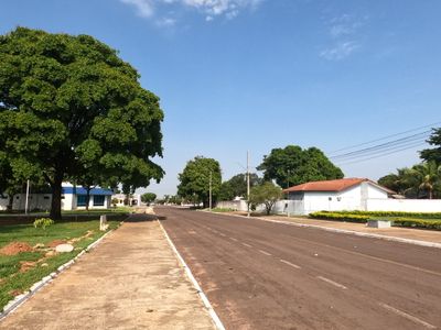
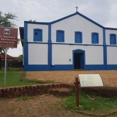
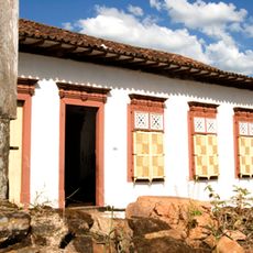
Água Boa, Municipal center in Mato Grosso, Brazil.
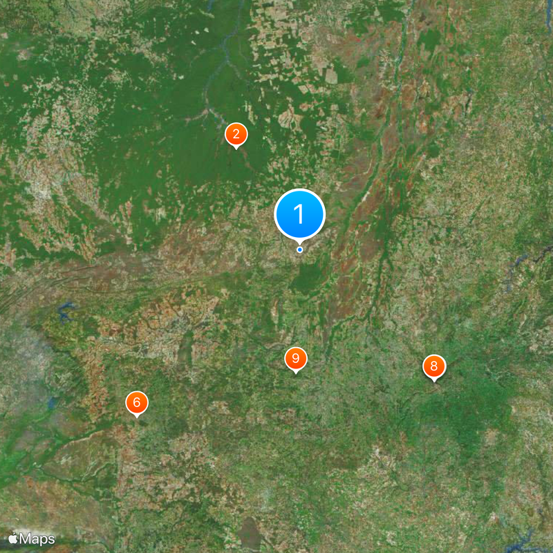
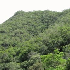
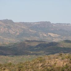
Água Boa is a municipality in central Brazil covering roughly 7,500 square kilometers and sitting at about 430 meters (1,410 feet) above sea level. The landscape is dominated by expansive farmland and pastures that stretch across gently rolling terrain.
The municipality took shape in the mid-20th century, driven by agricultural expansion programs across Mato Grosso. This growth transformed the region into a significant farming center in Brazil.
Cattle ranching and grain farming are woven into daily life here, shaping how people work and spend their time. You notice this connection to the land everywhere you go in the community.
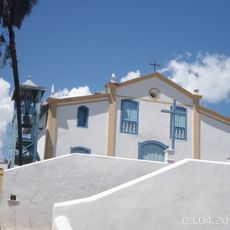
The local airport connects the town to other regions and serves as the main entry point for visitors. The town center has hotels, restaurants, and basic services that make it easy for travelers to spend time here.
An Italian wind orchestra performed the world premiere of 'The Mato Grosso March' here in 2007, creating a rare cultural bridge between Europe and this region. This unusual event remains memorable for locals and visitors who learn about it.
Location: Mato Grosso
Elevation above the sea: 430 m
Shares border with: Nova Xavantina, Campinápolis, Canarana, Gaúcha do Norte, Nova Nazaré
Website: https://aguaboa.mt.gov.br
GPS coordinates: -14.05000,-52.15889
Latest update: December 20, 2025 15:14
Kuhikugu
195.5 km
Historic Centre of the Town of Goiás
302.3 km
Museu Casa de Cora Coralina
301.7 km
Count of Arcos Palace
301.9 km
Stade Engenheiro Luthero Lopes
374.9 km
Museu das Bandeiras
302.1 km
Church of Our Lady of the Good Death
301.8 km
Serra Azul State Park
197.2 km
Serra Dourada State Park
304.1 km
Church of Saint Francis of Paola
301.7 km
Gruta da Lagoa Azul State Park
414.6 km
Caverna Aroe Jari
367.7 km
Águas Quentes State Park
415.2 km
Araguaia State Park
239.1 km
Águas do Cuiabá State Park
346.1 km
Igreja da Sé de Santana
416.9 km
Memorial Serra da Mesa
339.7 km
Museum of Sacred Art
301.9 km
Cachoeira do Prata
379.4 km
Church of Saint John the Baptist
303.1 km
Largo do Chafariz
302.1 km
Church of Saint Barbara
300.8 km
Conjunto arquitetônico e urbanístico da Rua João Pessoa, antiga da Fundição
301.9 km
Casa de Câmara e Cadeia
302.1 km
Conjunto Arquitetônico e Urbanístico da Rua Sebastião Fleury Curado
301.7 km
Roman Catholic Cathedral of Goiás
301.9 km
Church of Our Lady of the Abbey
301.4 km
Casa com Janelas de Rótulas e Forro Pintado, na Rua da Cadeia
289.2 kmVisited this place? Tap the stars to rate it and share your experience / photos with the community! Try now! You can cancel it anytime.
Discover hidden gems everywhere you go!
From secret cafés to breathtaking viewpoints, skip the crowded tourist spots and find places that match your style. Our app makes it easy with voice search, smart filtering, route optimization, and insider tips from travelers worldwide. Download now for the complete mobile experience.
A unique approach to discovering new places❞
— Le Figaro
All the places worth exploring❞
— France Info
A tailor-made excursion in just a few clicks❞
— 20 Minutes