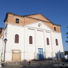
Serra Dourada State Park, State park in Goiás, Brazil
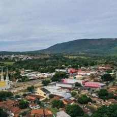
Serra Dourada State Park covers 28,625 hectares on top of a mountain range divided between the municipalities of Buriti de Goiás, Mossâmedes and the city of Goiás, in northwestern Goiás. Level trails inside the park lead to rock formations known as "stone cities", set among typical cerrado vegetation.
Serra Dourada State Park was created by Goiás state decree 5.768 of 5 June 2003, covering 188 properties. A 2008 thesis on sustainable ecotourism found that nothing had been done since the decree: no management plan and no environmental education for visitors. In June 2014 the state environment secretariat was studying a rural producers' proposal to cut the park from 28,625 to 16,500 hectares.
The park's name comes from the golden colour the Serra Dourada range takes on at sunset. The area overlaps the Dr. Sulivan Silvestre Environmental Protection Area, and the 2003 decree covered 188 private properties. In 2014 the Union of Rural Producers of the city of Goiás proposed shrinking the park to 16,500 hectares, a plan the Goiás branch of the Association of Brazilian Geographers rejected.
Access is by a mountain-top track that requires a four-wheel drive vehicle; the park lies about 40 km from Mossâmedes. Once inside, the trails are level and lead to the rock formations known as "stone cities". No management plan or visitor environmental education was in place as of 2008, so plan your own route and supplies.
The park's level trails lead to rock formations known as "stone cities", where boulders create natural mazes amid typical cerrado vegetation. A 2008 thesis found that no management plan or environmental education existed for visitors, and in 2014 a proposal was studied to shrink the park from 28,625 to 16,500 hectares.
The community of curious travelers
AroundUs brings together thousands of curated places, local tips, and hidden gems, enriched daily by 92,816 contributors worldwide.