Enable Location

We need your location to show you interesting places around you

Discover nearby places

Find interesting locations and hidden gems around you

Precise directions

Get accurate directions and distances to places

Your location is never shared with other users. It's only used when you tap the location button.

Chapada dos Guimarães

Log in to your account

Start exploring — it's free

Trusted by 61,993 travelers worldwide

Continue with Google
Continue with Apple
or

We will send you a code to connect

By continuing, you accept our Terms and Conditions and our Privacy Policy

Check your inbox

We've sent a pincode in your inbox. Please enter the code below.

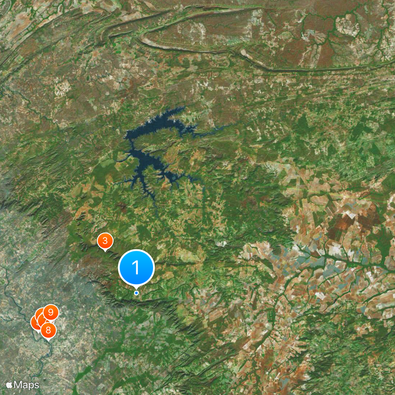
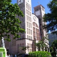
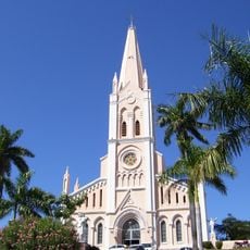
Chapada dos Guimarães, National park and municipality in Mato Grosso, Brazil.

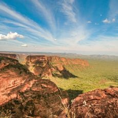
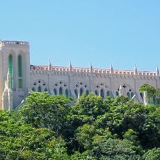
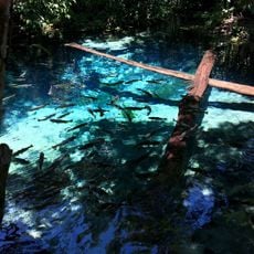
Chapada dos Guimarães is a highland region and municipality in Mato Grosso with dramatic elevation changes and diverse natural environments. The area displays sandstone formations, numerous waterfalls, and different ecosystems ranging from dry grasslands to forests along watercourses.

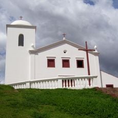
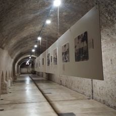
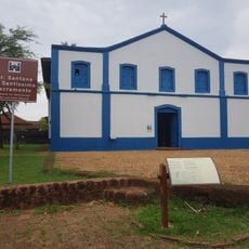
The area was established as a municipality and holds geographically important features along with archaeological sites from ancient times. This combination makes the region a significant place for understanding early human settlement in central Brazil.

The region contains ancient rock paintings and sacred sites left by indigenous communities over many generations in central Brazil. These traces show how deeply people have been connected to this land since earliest times.

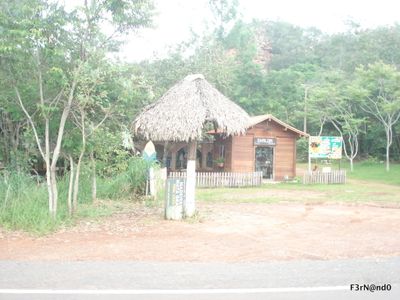
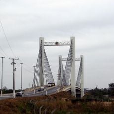
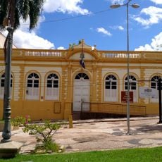
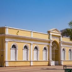
The area lies near the city of Cuiabá and is easily reached by road from the surrounding region. Several protected reserves and parks within the area offer opportunities for hiking and exploring the natural landscape.

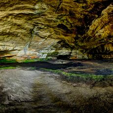
The region contains one of Brazil's largest sandstone caves and dramatic waterfalls that draw visitors into fascinating landscapes. These natural wonders attract adventurers looking to explore rare cave systems and impressive waterfall trails.

The community of curious travelers

AroundUs brings together thousands of curated places, local tips, and hidden gems, enriched daily by 60,000 contributors worldwide.

Start exploring
Location
Capital city
Chapada dos Guimarães
Elevation above the sea
325 m
Shares border with
Nobres, Acorizal, Campo Verde, Cuiabá, Nova Brasilândia, Rosário Oeste, Santo Antônio de Leverger
GPS coordinates
-15.46083,-55.75000
Latest update
December 20, 2025 02:06
« Chapada dos Guimarães - National park and municipality in Mato Grosso, Brazil » is provided by Around Us (aroundus.com). Images and texts are derived from Wikimedia project under a Creative Commons license. You are allowed to copy, distribute, and modify copies of this page, under the conditions set by the license, as long as this note is clearly visible.

Discover hidden gems everywhere you go!

From secret cafés to breathtaking viewpoints, skip the crowded tourist spots and find places that match your style. Our app makes it easy with voice search, smart filtering, route optimization, and insider tips from travelers worldwide. Download now for the complete mobile experience.

Around Us App Screenshot

A unique approach to discovering new places

Le Figaro

All the places worth exploring

France Info

A tailor-made excursion in just a few clicks

20 Minutes

Around Us
Travel Guide & Maps
Download

Send to your phone

QR Code
1

Open the camera app on your mobile.

2

Point at the QR code with your camera. A notification will appear.

3

Tap the notification to open the link.