Alto Taquari, Municipality in southern Mato Grosso, Brazil
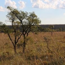
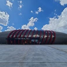
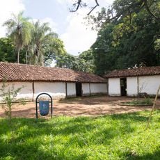
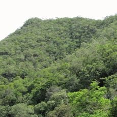
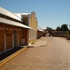
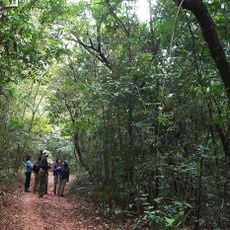
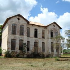
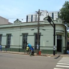
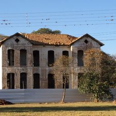
Alto Taquari is a municipality in southern Mato Grosso, located in central-western Brazil. The landscape consists mainly of agricultural land and rural settlements that shape the character of the region.
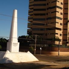
Alto Taquari became an independent municipality in May 1986, representing a turning point in the administrative organization of Mato Grosso state. This separation allowed the region to develop its own local institutions.
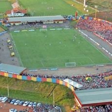
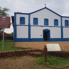
The municipality maintains strong connections with regional traditions through its local festivals, agricultural practices, and community gatherings throughout the year.
The municipality is situated approximately 940 kilometers from São Paulo and 614 kilometers from Brasília, connected by established road networks to major Brazilian cities. Visitors should expect rural infrastructure and allow adequate travel time from larger urban centers.
The municipality achieved a Human Development Index score of 0.804 in 2000, ranking among the higher-performing administrative regions in Mato Grosso.
Location: Mato Grosso
Inception: 1986
Elevation above the sea: 851 m
Shares border with: Alcinópolis, Alto Araguaia, Costa Rica, Mineiros, Santa Rita do Araguaia
Website: http://altotaquari.mt.gov.br
GPS coordinates: -17.82583,-53.28194
Latest update: December 8, 2025 13:40
Emas National Park
48.1 km
Rollemberg–Vuolo Road–Railway Bridge
348.8 km
Parque das Nações Indígenas
322.5 km
Morada dos Baís
325.7 km
Pantanal Aquarium
322.8 km
Obelisco de Campo Grande
325 km
Porto de Alencastro bridge
313.9 km
Stade Engenheiro Luthero Lopes
207 km
Metropolitan Cathedral of Our Lady of the Abbey and St. Anthony, Campo Grande
325.7 km
José Antônio Pereira Museum
333.2 km
Serra Azul State Park
250.4 km
Encontro das Águas State Park
370.3 km
Monumento ao Índio
322.7 km
Oxcart Monument
326.5 km
Conjunto Ferroviario de Campo Grande
324.2 km
Caverna Aroe Jari
348.1 km
Águas Quentes State Park
321.4 km
Holy Spirit Cathedral, Jataí
165.2 km
Matas do Segredo State Park
317 km
Palácio do Imperador
364.4 km
Parque Estadual do Prosa
321.8 km
Itaicy Factory
341.8 km
Igreja da Sé de Santana
372.2 km
Casa do Artesão de Campo Grande
325.6 km
Rock art sites of Alcinópolis
71.3 km
Cachoeira do Prata
263.1 km
Emperor's Palace (Former military colony)
364.4 km
Monument to the Guaicurus Knights
323 kmVisited this place? Tap the stars to rate it and share your experience / photos with the community! Try now! You can cancel it anytime.
Discover hidden gems everywhere you go!
From secret cafés to breathtaking viewpoints, skip the crowded tourist spots and find places that match your style. Our app makes it easy with voice search, smart filtering, route optimization, and insider tips from travelers worldwide. Download now for the complete mobile experience.
A unique approach to discovering new places❞
— Le Figaro
All the places worth exploring❞
— France Info
A tailor-made excursion in just a few clicks❞
— 20 Minutes