Enable Location

We need your location to show you interesting places around you

Discover nearby places

Find interesting locations and hidden gems around you

Precise directions

Get accurate directions and distances to places

Your location is never shared with other users. It's only used when you tap the location button.

Barra do Bugres

Log in to your account

Start exploring — it's free

Trusted by 66,926 travelers worldwide

Continue with Google
Continue with Apple
or

We will send you a code to connect

By continuing, you accept our Terms and Conditions and our Privacy Policy

Check your inbox

We've sent a pincode in your inbox. Please enter the code below.

Discussion Reviews 1 Photos
15.5k Popularity

Barra do Bugres, municipality in Mato Grosso, Brazil

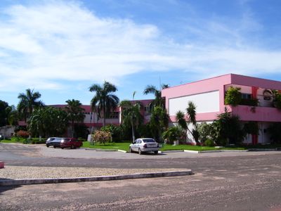
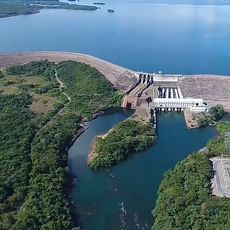
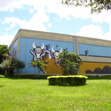
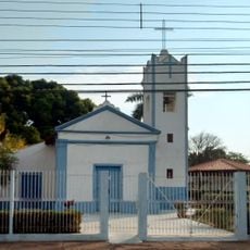
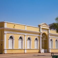
Barra do Bugres is a municipality in the Brazilian state of Mato Grosso, located along the Bugres River where it flows toward the Paraguay River. The town has a modest layout of low-rise streets, local markets and residential areas set between the riverbanks and the surrounding land.

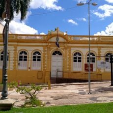
The town was officially recognized as a municipality in 1931, growing steadily through fishing and farming carried out by settlers alongside existing local communities. Before that, the area had long been home to indigenous peoples whose presence shaped much of the local way of life that persists today.

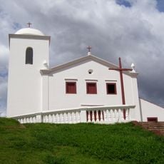
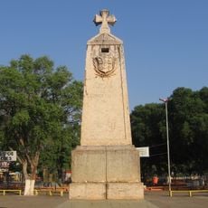
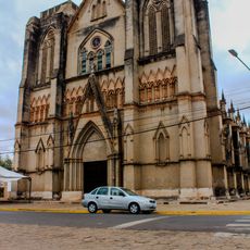
The name Bugres comes from an old colonial term used to refer to indigenous peoples of the region, now considered offensive but still carried in the town's name. Local celebrations reflect a mix of indigenous, African and Portuguese traditions that have shaped daily life over generations.

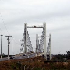
The town is most easily reached from Cuiaba by car or bus along a well-maintained road, and the journey takes a few hours. Once in town, most areas are walkable, though having your own vehicle is helpful if you want to explore the surrounding countryside.

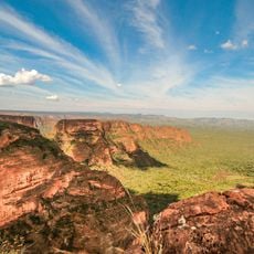
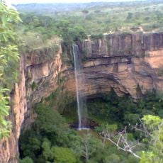
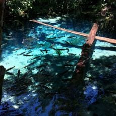
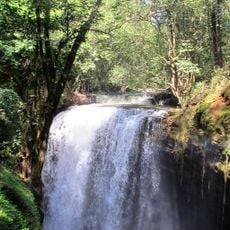
The area sits on the boundary between the Amazon and the cerrado, two of South America's largest ecosystems, which means wildly different landscapes and animals can be found just a short distance apart. This makes it possible to spot bird and river species from both ecosystems without traveling far.

The community of curious travelers

AroundUs brings together thousands of curated places, local tips, and hidden gems, enriched daily by 60,000 contributors worldwide.

Start exploring
Location
Elevation above the sea
229 m
Shares border with
Araputanga, Salto do Céu, Vale de São Domingos, Nova Olímpia, Alto Paraguai, Cáceres, Denise, Mato Grosso, Jauru, Lambari d'Oeste, Porto Estrela, Reserva do Cabaçal, Rosário Oeste, Tangará da Serra
GPS coordinates
-15.07278,-57.18083
Latest update
March 3, 2026 08:21
Reviews
Share your experience

No review yet

Discussions
Start a discussion...

No discussion yet

« Barra do Bugres - municipality in Mato Grosso, Brazil » is provided by Around Us (aroundus.com). Images and texts are derived from Wikimedia project under a Creative Commons license. You are allowed to copy, distribute, and modify copies of this page, under the conditions set by the license, as long as this note is clearly visible.

Discover hidden gems everywhere you go!

From secret cafés to breathtaking viewpoints, skip the crowded tourist spots and find places that match your style. Our app makes it easy with voice search, smart filtering, route optimization, and insider tips from travelers worldwide. Download now for the complete mobile experience.

Around Us App Screenshot

A unique approach to discovering new places

Le Figaro

All the places worth exploring

France Info

A tailor-made excursion in just a few clicks

20 Minutes

Around Us
Travel Guide & Maps
Download

Send to your phone

QR Code
1

Open the camera app on your mobile.

2

Point at the QR code with your camera. A notification will appear.

3

Tap the notification to open the link.