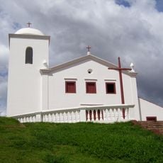
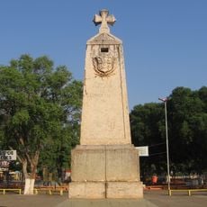
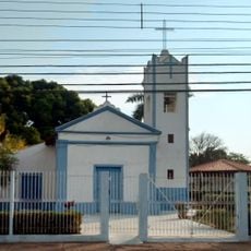
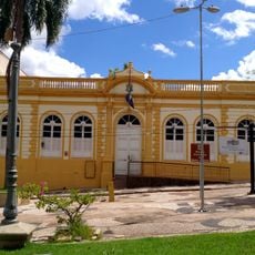
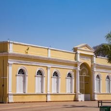
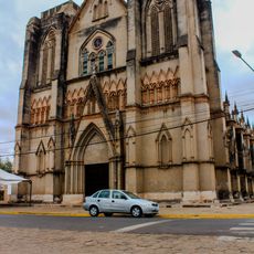
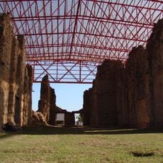
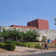
Tangará da Serra, Municipality in southwestern Mato Grosso, Brazil
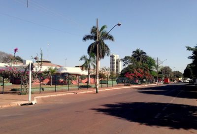
Tangará da Serra sits at an elevation of 387 meters above sea level, spanning across 11,391 square kilometers of diverse geographical terrain.
The establishment of Tangará da Serra as an official municipality in 1976 marked a significant expansion of administrative divisions in Mato Grosso state.
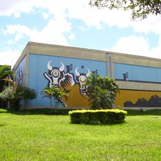
The municipality organizes regular business networking events, including meetings that support local entrepreneurs through knowledge exchange and collaboration initiatives.
The municipal government provides access to essential services through the Portal Cidadão platform, where residents can obtain permits and licenses.
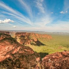
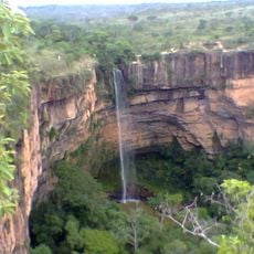
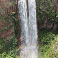
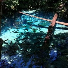
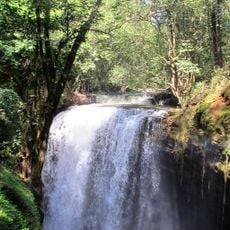
The Sepotuba River flows through the region, featuring numerous waterfalls that contribute to the natural water resources of Mato Grosso.
Location: Mato Grosso
Inception: 1976
Elevation above the sea: 387 m
Shares border with: Barra do Bugres, Campo Novo do Parecis, Campos de Júlio, Conquista d'Oeste, Diamantino, Nova Marilândia, Nova Olímpia, Pontes e Lacerda, Reserva do Cabaçal, Salto do Céu, Santo Afonso, Sapezal, Vale de São Domingos
Website: http://tangaradaserra.mt.gov.br
GPS coordinates: -14.61889,-57.48583
Latest update: May 26, 2025 14:16
Arena Pantaloneta
183.1 km
Chapada dos Guimarães National Park
190.1 km
Church of Our Lady of the Rosary and Saint Benedict
185.1 km
Estádio José Fragelli
183.1 km
Mãe Bonifácia State Park
182.9 km
Cathedral Basilica of the Good Lord Jesus, Cuiabá
184.9 km
Historic Centre of Cuiabá
185.1 km
Ponte Sérgio Motta
188.3 km
Palácio Paiaguás
184.7 km
Catarata Véu da Noiva
167.7 km
Igreja Nossa Senhora do Bom Despacho
185.1 km
Igreja de Nossa Senhora Auxiliadora (Cuiabá)
185.1 km
Marco do Jauru
162.4 km
Museu do Morro da Caixa D'Água Velha
184.5 km
Serra Ricardo Franco State Park
302.4 km
Cachoeira do Jatobá
280.5 km
Igreja de Nossa Senhora da Guia
185.4 km
Mato Grosso Historical Museum
184.9 km
Museu do Rio Cuiabá
185 km
Museu Rondon
188 km
Gruta da Lagoa Azul State Park
163.9 km
Cathedral of St. Louis of France
162.4 km
Museu de Arte e de Cultura Popular
188.6 km
Museum of Image and Sound of Cuiabá
185 km
Ruins of the Church of the Holy Trinity
268.7 km
Teatro Universitário
188.5 km
Cachoeira do Funil
149.3 km
Multiplex Pantanal
185.2 kmReviews
Visited this place? Tap the stars to rate it and share your experience / photos with the community! Try now! You can cancel it anytime.
Discover hidden gems everywhere you go!
From secret cafés to breathtaking viewpoints, skip the crowded tourist spots and find places that match your style. Our app makes it easy with voice search, smart filtering, route optimization, and insider tips from travelers worldwide. Download now for the complete mobile experience.
A unique approach to discovering new places❞
— Le Figaro
All the places worth exploring❞
— France Info
A tailor-made excursion in just a few clicks❞
— 20 Minutes