Cáceres, Administrative center in Mato Grosso, Brazil
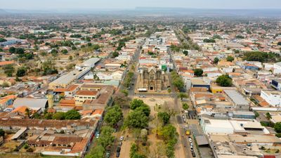
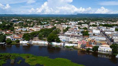
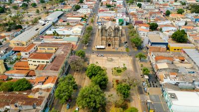
Cáceres is a border town in Mato Grosso situated along the Paraguay River, where settlements and natural areas blend together. The municipality spans extensive terrain with river landscapes and is shaped by several protected zones.
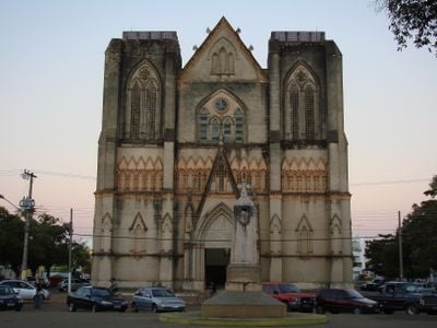
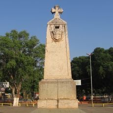
The settlement was founded on October 6, 1778 as a strategic outpost to secure the Brazilian frontier against Bolivia. This early role as a defensive position shaped its character as an important border location.
The town has deep ties to the river and fishing traditions that have shaped local life for generations. You see fishing boats and people along the waterfront, especially when they bring in their catch.
Visitors reach the town via BR-070 from the east or use northern highway connections like MT-343. The best season for exploring is during drier months, when roads are more accessible.
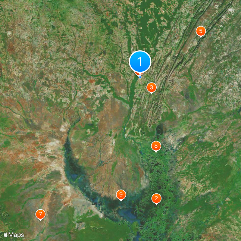
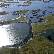
Within the municipality sits the Taiamã Ecological Station, which protects a section of the Pantanal and hosts diverse animal species in river habitats. This area reveals the town's role as a gateway to one of South America's largest wetlands.
Location: Mato Grosso
Inception: October 6, 1778
Elevation above the sea: 223 m
Shares border with: Mirassol d'Oeste, Barra do Bugres, Corumbá, Curvelândia, Glória d'Oeste, Lambari d'Oeste, Nossa Senhora do Livramento, Poconé, Porto Esperidião, Porto Estrela
Website: http://caceres.mt.gov.br
GPS coordinates: -16.07111,-57.67889
Latest update: December 14, 2025 20:12
Pantanal
149.2 kmFazenda Jacobina
23.2 km
Marco do Jauru
1.2 kmSerra das Araras Ecological Station
85 km
Cathedral of St. Louis of France
1.1 km
San Matías Integrated Management Natural Area
202.6 km
Taiamã Ecological Station
89 kmGuirá State Park
145.2 kmHistoric Center of Cáceres
874 mFazenda Descalvados
74.1 kmQuilombo Monjolo
26.2 kmQuilombo Chapadinha
45.6 kmQuilombo Santana
59.8 kmQuilombo São Gonçalo
125.7 kmCentro de História, Educação e Cultura Donizete Tavares Coelho
98.1 kmQuilombo Ponta do Morro
76.7 kmQuilombo Pita Canudos
49.9 kmMuseu Histórico de Cáceres
851 mPosto de Telégrafos de Porto Esperidião
87.5 kmQuilombo Exú
13.4 kmCristo
83.1 kmDolina Água Milagrosa
16.5 kmDaveron
1.6 kmPraia do Julião
3.1 kmPlaca na Hora
450 mEstátua Macônica
1.2 kmWork of art, bust
846 mScenic viewpoint
2.6 kmVisited this place? Tap the stars to rate it and share your experience / photos with the community! Try now! You can cancel it anytime.
Discover hidden gems everywhere you go!
From secret cafés to breathtaking viewpoints, skip the crowded tourist spots and find places that match your style. Our app makes it easy with voice search, smart filtering, route optimization, and insider tips from travelers worldwide. Download now for the complete mobile experience.
A unique approach to discovering new places❞
— Le Figaro
All the places worth exploring❞
— France Info
A tailor-made excursion in just a few clicks❞
— 20 Minutes