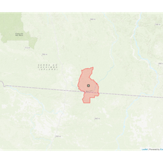
Matupá, Municipality in Mato Grosso, Brazil.
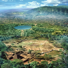
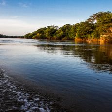
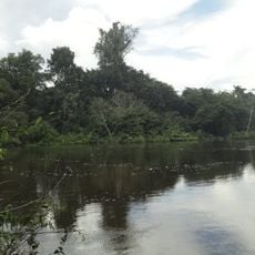
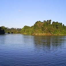
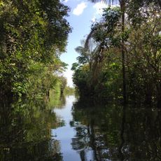
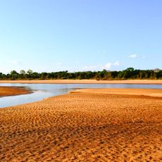
Matupá is a municipality in northeastern Mato Grosso that sits at about 280 meters elevation. The area has a tropical climate with hot temperatures throughout the year.
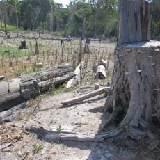
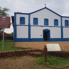
The municipality emerged from agricultural expansion in the region as Mato Grosso developed. This growth led to the establishment of formal administrative structures.
Local residents participate in seasonal celebrations, including Christmas illumination events and community gatherings that strengthen municipal social bonds.
The area is connected by road networks to other parts of Mato Grosso, making travel straightforward. A regional airport nearby provides connections to other regions.
Rainfall concentrates in a few months, especially from January through March, while the rest of the year remains drier. This pattern shapes agricultural activity and the landscape throughout the municipality.
Location: Mato Grosso
Elevation above the sea: 280 m
Shares border with: Peixoto de Azevedo, Guarantã do Norte, Altamira, Nova Guarita, Novo Mundo, Terra Nova do Norte
Website: http://matupa.mt.gov.br
GPS coordinates: -10.05694,-54.93278
Latest update: December 7, 2025 20:24
Kuhikugu
342.2 km
Chapada dos Guimarães National Park
592.8 km
Cantão State Park
535.1 km
Araguaia National Park
531.1 km
Carajás National Forest
687.9 km
Juruena National Park
429 km
Tapajós hydroelectric complex
625.1 km
Cristalino State Park
98.6 km
Kayapó Indigenous Territory
428.4 km
Serra do Pardo National Park
522.5 kmApyterewa Indigenous Territory
585.1 km
Jamanxim National Park
491.4 km
Rio Novo National Park
296.4 km
Gruta da Lagoa Azul State Park
515.2 km
Caverna Aroe Jari
591.9 km
Jamanxim National Forest
294.5 km
Tapajós Environmental Protection Area
440.6 km
Araguaia State Park
517.5 km
Tapirapé Biological Reserve
688.6 km
Xingu State Park
257.8 km
Águas do Cuiabá State Park
475.3 km
Ilha do Bananal / Cantão Environmental Protection Area
594.5 km
Crepori National Forest
456.8 km
Itaituba II National Forest
560.2 km
Igreja da Sé de Santana
607.8 km
Trairão National Forest
577.3 km
Terra Indígena Panará
110.9 km
Cachoeira do Funil
604 kmVisited this place? Tap the stars to rate it and share your experience / photos with the community! Try now! You can cancel it anytime.
Discover hidden gems everywhere you go!
From secret cafés to breathtaking viewpoints, skip the crowded tourist spots and find places that match your style. Our app makes it easy with voice search, smart filtering, route optimization, and insider tips from travelers worldwide. Download now for the complete mobile experience.
A unique approach to discovering new places❞
— Le Figaro
All the places worth exploring❞
— France Info
A tailor-made excursion in just a few clicks❞
— 20 Minutes