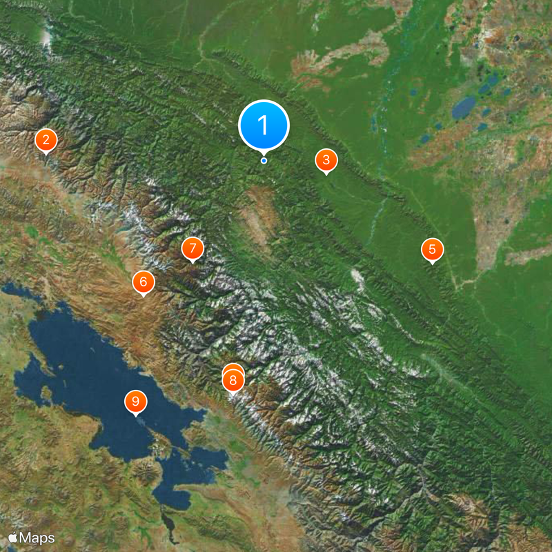
Madidi National Park and Integrated Management Natural Area, National park in La Paz Department, Bolivia.
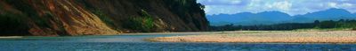
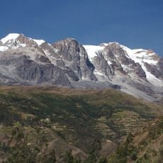
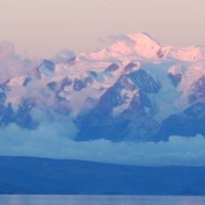
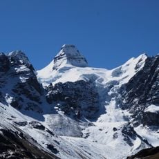
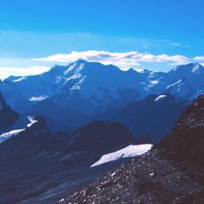
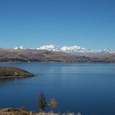
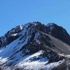
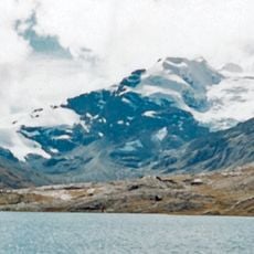
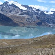
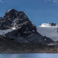
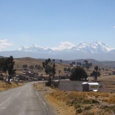
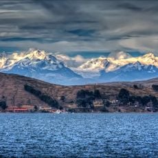
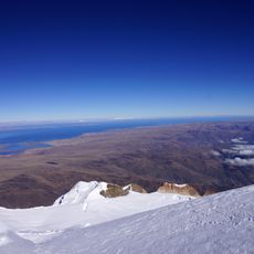
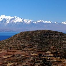
Madidi is a protected area in La Paz that stretches from snow-capped Andean peaks down to the rainforest, covering roughly 19,000 square kilometers. It spans elevations between approximately 180 and 5,800 meters, where tropical lowlands meet cloud forests and barren mountain ranges.
The Bolivian government designated the territory on September 21, 1995, through a decree to protect habitats and resident communities. Boundaries were later expanded and management zones added to balance conservation with human use.
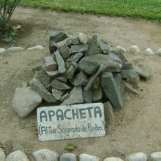
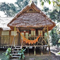
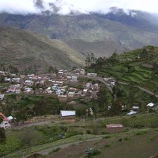
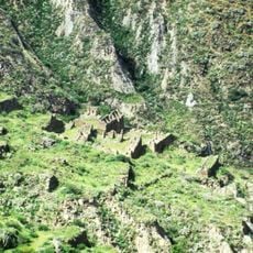
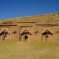
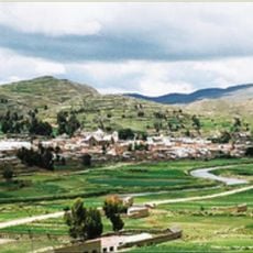
Communities of Tacana, Quechua, Aymara and Leco live throughout the territory and cultivate fields following methods passed down through generations. Visitors often meet these groups in lowland areas where homes are built from palm timber and thatch.
Visitors reach the territory from La Paz by bus or small plane to Rurrenabaque or Apolo, where local guides organize tours. Trails wind through dense forest and along rivers, so good fitness and weatherproof clothing are necessary.
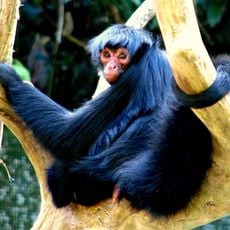
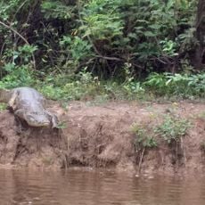
Researchers documented over 4,000 new species of plants, butterflies and vertebrates in just three years, highlighting the extraordinary variety found here. Some zones remain unexplored, so further discoveries are likely.
The community of curious travelers
AroundUs brings together thousands of curated places, local tips, and hidden gems, enriched daily by 60,000 contributors worldwide.