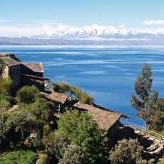
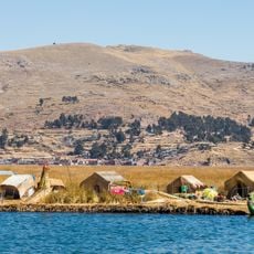
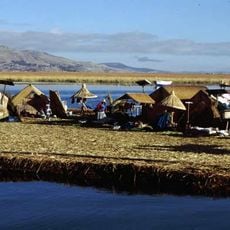
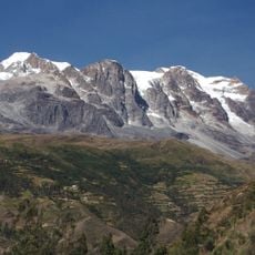
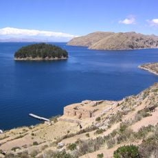
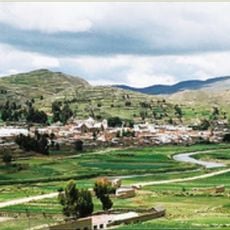
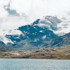
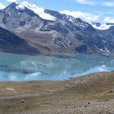
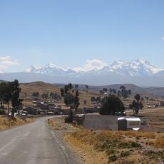
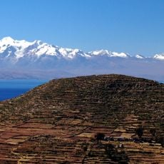
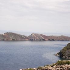
Suches River, Brook in La Paz Department, Bolivia.
The Suches River is an Andean river of the endorheic Lake Titicaca basin that for part of its course forms the border between Peru and Bolivia. It rises in Suches Lake at 4,605 m and runs 174 km in total, 95 km as the frontier and 79 km inside Bolivian territory, reaching Lake Titicaca near the Challapata Peninsula. Its upper course is braided and its middle course meandering, and it drains 2,822 km² with a mean flow of 11 m³/s.
The Suches River rises in Suches Lake at 4,605 m and forms the Bolivia–Peru border for 95 km of its 174 km course. It then runs 79 km inside Bolivian territory to reach Lake Titicaca near the Challapata Peninsula. Its 2,822 km² basin feeds the lake with an average flow of 11 m³/s.
The river's name, Suches, comes from the Aymara word "suchi," meaning "reed," a reference to the reeds that grow along its banks. The river marks the border between Bolivia and Peru, and the people of the highlands use its waters for fishing and irrigation.
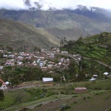
The river is most easily reached from the small villages along its banks, which are accessible by unpaved roads. Elevation stays above 13,000 feet (4,000 m) throughout, so warm layers and time to acclimatize are strongly recommended.
The river rises in Suches Lake at 4,605 m above sea level, and from that point it forms the border with Peru for 95 km. It then runs 79 km inside Bolivian territory before reaching Lake Titicaca near the Challapata Peninsula. Its total length is 174 km, making it one of the main tributaries of the lake.
The community of curious travelers
AroundUs brings together thousands of curated places, local tips, and hidden gems, enriched daily by 92,725 contributors worldwide.