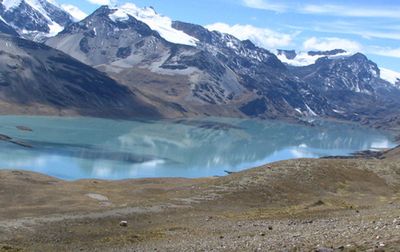
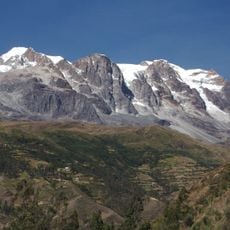
Palomani, Mountain peak in La Paz Department, Bolivia.
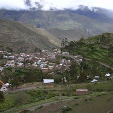
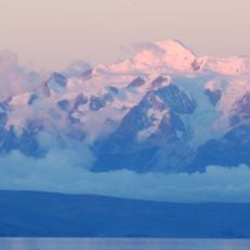
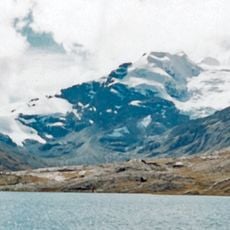
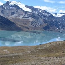
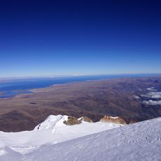
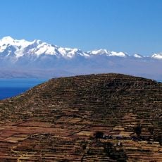
Palomani is a mountain peak located along the border between Bolivia and Peru in the Andes, reaching approximately 5,723 meters in elevation. The peak forms a prominent feature in this border region and is part of the complex mountain system of the southern Andes.
The peak formed through geological processes that shaped the Andes over millions of years via tectonic plate movement and volcanic activity. This mountain range was created by intense tectonic forces that fundamentally altered the region's landscape.
Local communities view this mountain as a sacred place that holds significance in their traditional belief systems. People from the region treat the peak with reverence and see it as connected to their spiritual relationship with the natural world.
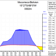
Climbing this peak requires specialized mountaineering equipment, extensive preparation, and high-altitude experience. Weather at this elevation changes rapidly, so visitors should expect difficult conditions and long acclimatization periods.
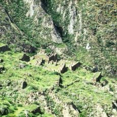
Despite reaching approximately 5,723 meters, this peak lacks documented successful ascents, offering opportunities for first ascents and new route exploration. This makes it a rare destination for adventurers seeking to explore entirely uncharted paths.
The community of curious travelers
AroundUs brings together thousands of curated places, local tips, and hidden gems, enriched daily by 60,000 contributors worldwide.