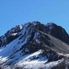
Jach'a Pukara, Mountain summit in Larecaja Province, Bolivia.
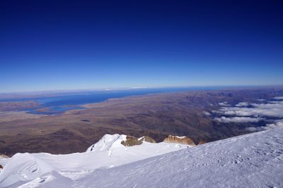
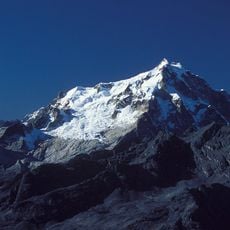
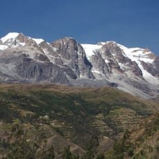
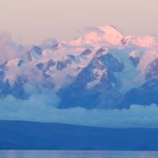
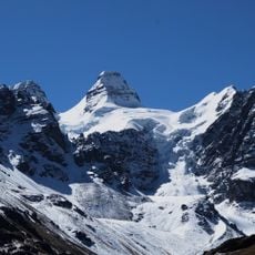
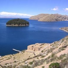
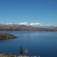
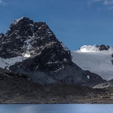
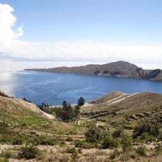
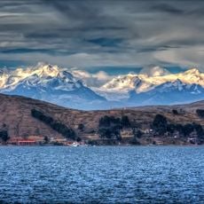
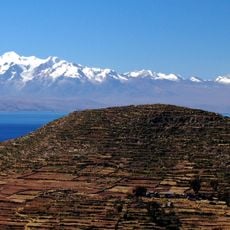
Jach'a Pukara is a mountain summit in Larecaja Province that rises to approximately 4,300 meters and sits between Lake Titicaca and the Janq'u Uma-Illampu massif. The peak stands within the Cordillera Real range, surrounded by other notable summits and geographical features of the region.
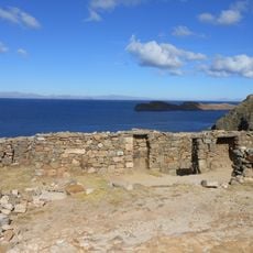
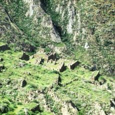
The name comes from the Aymara language, where jach'a means big and pukara means fortress, reflecting historical significance of such structures in the region. This naming tradition points to older settlement patterns and defensive systems that shaped the Andean landscape.
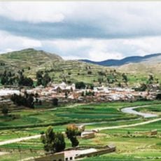
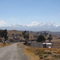
Local communities recognize this summit as a landmark within the broader Andean landscape, playing a role in how people understand their surroundings. The mountain serves as a geographical point of reference that shapes how inhabitants perceive and navigate the region.
Climbing this summit requires careful preparation for high-altitude conditions and rugged mountain terrain that changes significantly with the seasons. Visitors should plan for extended time at elevation and be ready for sudden weather changes typical of high Andean peaks.
From the summit, views extend across the Jalsuri River system and numerous neighboring peaks that dominate the panorama. This vantage point reveals the spatial arrangement of several major landmarks at once, offering rare perspective on how these mountains relate to each other geographically.
The community of curious travelers
AroundUs brings together thousands of curated places, local tips, and hidden gems, enriched daily by 60,000 contributors worldwide.