Titicaca

Log in to your account

AroundUs is a community-driven map of interesting places, built by curious explorers like you. It grows with every review, story, and photo you share.
Connect to save your favorite spots, contribute locations, and create personalized routes.
Continue with Google
Continue with Apple
Continue with X
Continue with Facebook
Continue with email
By continuing, you accept our Terms and Conditions and our Privacy Policy
Create an account
Add to collection
Map
Suggest a change
Share

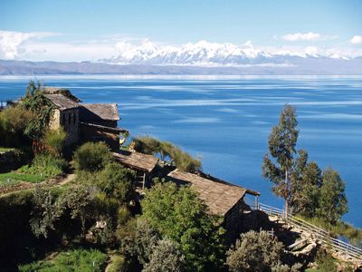
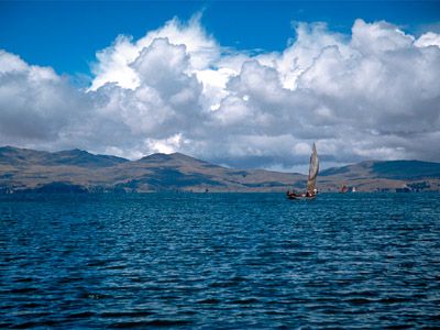
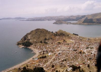
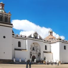
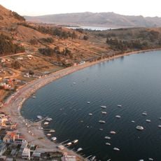
Titicaca, Sacred lake in Puno, Peru and La Paz, Bolivia.

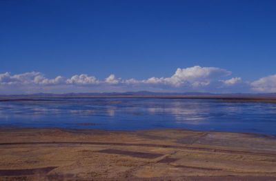
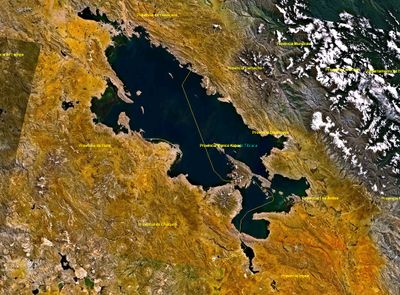
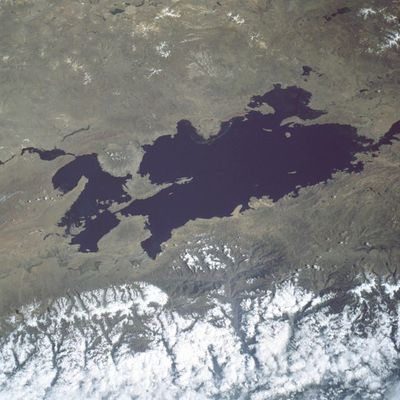
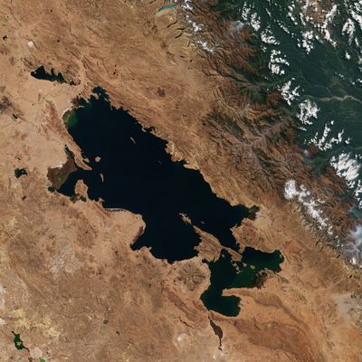
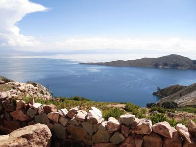
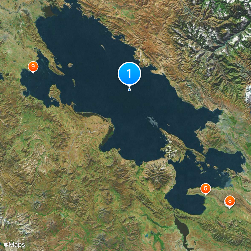
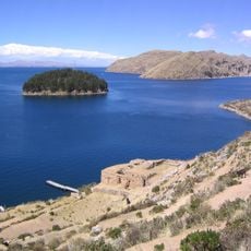
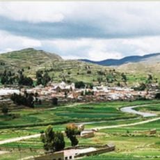
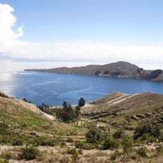
Titicaca stretches across more than 8000 square kilometers between Peru and Bolivia at an elevation of roughly 3800 meters in the Andes. The water surface sits surrounded by mountains and high plains, with several islands of natural and artificial origin scattered across its expanse.

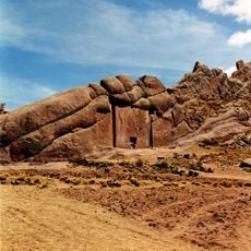
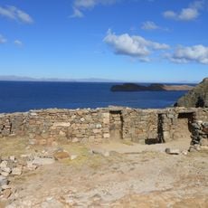
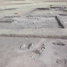
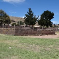
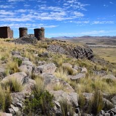
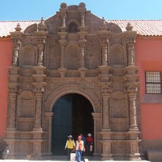
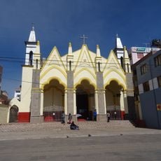
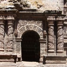
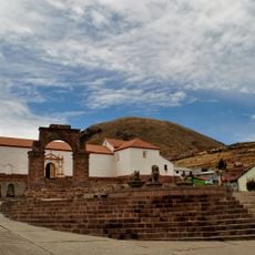
The Tiwanaku civilization built settlements around the water between the 5th and 10th centuries, using artificial terraces for agriculture. Later, the Inca revered the body of water as the sacred origin of their dynasty and constructed temples on the islands.

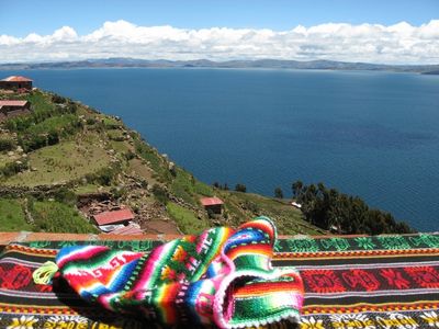
Aymara and Quechua communities continue to live on the islands and follow traditions including textile weaving and the construction of boats from reeds. Visitors may witness religious festivals where people honor the spiritual connection to the water through offerings and music.

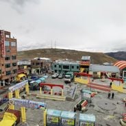
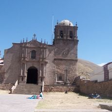
Travelers reach the area through Puno, where boats depart daily to the floating islands of the Uros as well as to Taquile and Amantani. The elevation requires time to adjust, so moving slowly and drinking plenty of water helps prevent discomfort.

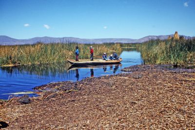
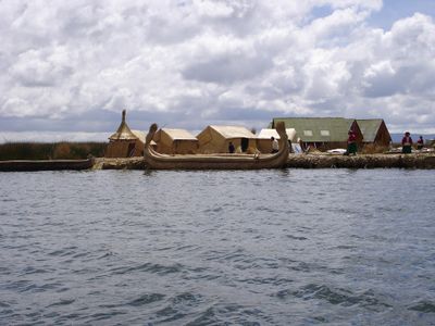
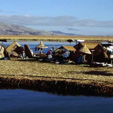
The Uros live on artificial islands built entirely from totora reeds, which need maintenance roughly every three months. The reeds also serve as a food source, as the white roots can be eaten and have a slightly sweet flavor.

Location: Puno Department

Location: La Paz Department

Elevation above the sea: 3,812 m

Website: https://sernanp.gob.pe/sernanp/zonaturismoi.jsp?ID=9;http://www.alt-perubolivia.org/web

GPS coordinates: -15.82500,-69.32500

Latest update: December 14, 2025 19:10

Photos
Visiting Bolivia: natural landscapes, archaeological sites, and colonial heritage

Bolivia sits in the central Andes, linking mountain ranges, high plateau lands, and lowland rainforests in a landlocked country. The changes in altitude create different climate zones and landscapes, from snow-covered peaks to tropical vegetation. Many visitors start in La Paz, a city that clings to...

Highest cities in the world: settlements at altitudes above 3,000 meters

This collection includes towns established above 3,000 meters altitude, mainly located in the Andes and on Asian highlands. These urban centers house several million inhabitants who live daily under conditions where oxygen is scarce. La Rinconada in Peru reaches 5,300 meters, making it the highest...

Reviews

Visited this place? Tap the stars to rate it and share your experience / photos with the community! Try now! You can cancel it anytime.

« Titicaca - Sacred lake in Puno, Peru and La Paz, Bolivia » is provided by Around Us (aroundus.com). Images and texts are derived from Wikimedia project under a Creative Commons license. You are allowed to copy, distribute, and modify copies of this page, under the conditions set by the license, as long as this note is clearly visible.

Discover hidden gems everywhere you go!

From secret cafés to breathtaking viewpoints, skip the crowded tourist spots and find places that match your style. Our app makes it easy with voice search, smart filtering, route optimization, and insider tips from travelers worldwide. Download now for the complete mobile experience.

Around Us App Screenshot

A unique approach to discovering new places

Le Figaro

All the places worth exploring

France Info

A tailor-made excursion in just a few clicks

20 Minutes