Asiru Phat'jata, Mountain summit in Yunguyo Province, Puno Department, Peru
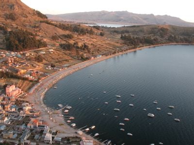
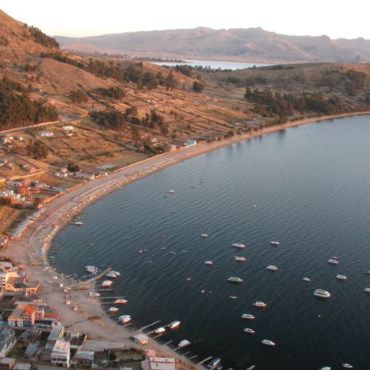
Asiru Phat'jata is a hill of about 3,895 metres in Yunguyo District, Yunguyo Province, Puno Region, near Lake Titicaca and beside the road linking Yunguyo and Puno. Its dry brown slopes carry terraced fields marked by stone lines, patches of pale grass and clusters of dark green trees near the base, with a dirt road cutting across the middle and small reddish-brown-roofed buildings along the lower edge. An archaeological area lies on the hill.
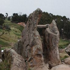
Archaeological remains found on the mountain were recognized as national cultural heritage by Peru's cultural authorities. This recognition indicates long-term human settlement in the region.
The mountain's name comes from Aymara words meaning snake and to split, reflecting how indigenous peoples have understood and related to this landscape. Local communities still recognize these traditional place names as part of their everyday geography.
The mountain is reachable via the main road between Yunguyo and Puno, with local transportation services operating from nearby communities. Access is generally easier during the drier seasons.
The Aymara name Asiru Phat'jata means "split snake", from asiru (snake) and phat'jaña (to split in half). The hill's archaeological area was declared a National Cultural Heritage of Peru by the National Institute of Culture. The dirt road linking Yunguyo and Puno runs past the foot of the slope.
The community of curious travelers
AroundUs brings together thousands of curated places, local tips, and hidden gems, enriched daily by 93,753 contributors worldwide.