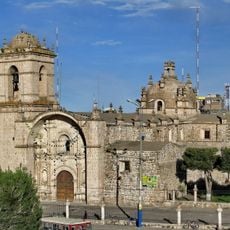
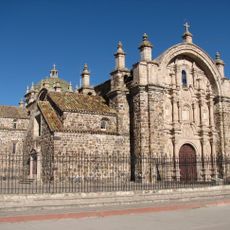
Puno Department, Administrative region in southeastern Peru
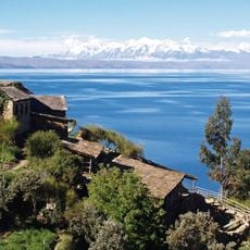
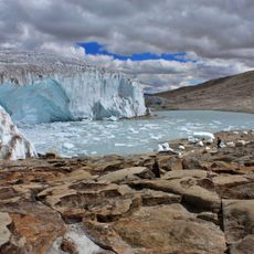
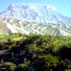
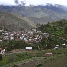
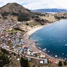
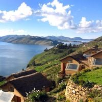
The Puno region covers a large portion of southeastern Peru, including sections of Lake Titicaca and mountain ranges that rise to around 3,800 meters (12,500 feet). The landscape alternates between wide plains, sparse slopes, and the calm waters of the lake that forms the border with Bolivia.
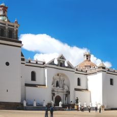
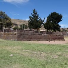
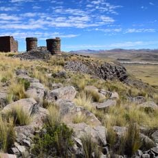
Between the eighth and twelfth centuries, the Tiahuanaco culture controlled much of this area before the Inca arrived in the fifteenth century. Spanish conquest followed later, reshaping the local order completely.
The names used throughout the region often come from Quechua and Aymara, two languages still heard in markets and villages today. Hand-woven textiles show patterns passed down through generations of weavers, and many families continue to live from farming and herding on the high plains.
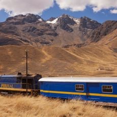
Most travelers reach the area through the airport in Juliaca or by train from Cusco or Arequipa. The altitude requires some adjustment, so moving slowly and drinking plenty of water during the first days is advisable.
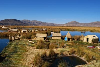
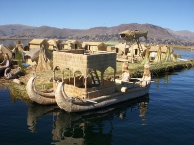
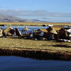
The lake holds around 41 floating islands made from reeds, where Uros communities live and build houses, boats, and walkways from the same material. This building method has been used for centuries and requires constant upkeep as the reeds decay over time.
The community of curious travelers
AroundUs brings together thousands of curated places, local tips, and hidden gems, enriched daily by 60,000 contributors worldwide.