Azángaro Province, Administrative province in Puno Department, Peru.
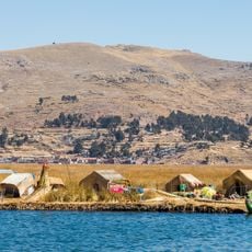
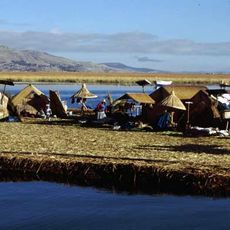
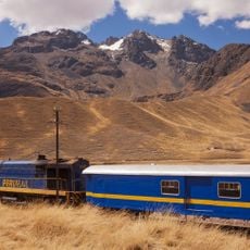
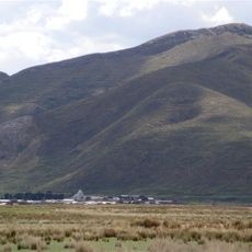
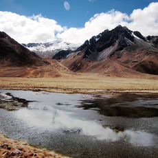
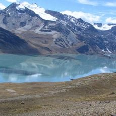
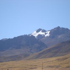
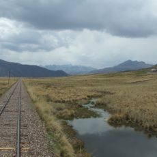
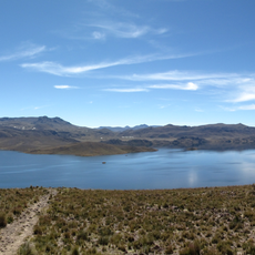
Azángaro Province spreads across the highlands of Puno Department, covering about 4,970 square kilometers at an elevation of roughly 3,850 meters. It is divided into fifteen districts with numerous communities scattered throughout the mountainous terrain.
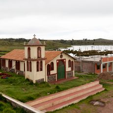
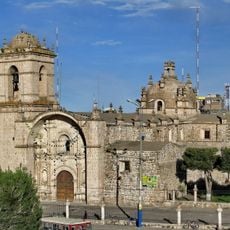
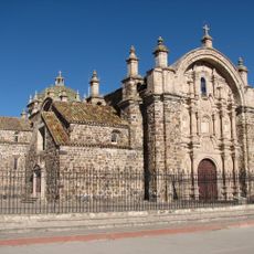
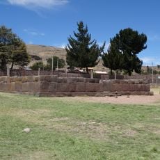
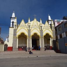
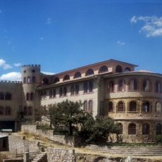
Spanish settlers established a religious center in colonial times with a church built by Dominican friars, marking the beginning of permanent European influence in this highland area. This early foundation shaped the province's development over the following centuries.
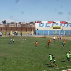
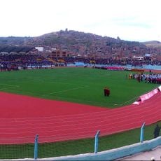
Quechua language and traditions shape daily life in the communities here, with local customs deeply woven into how people interact and celebrate together. These practices remain central to the social fabric across the region.
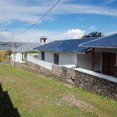
The province has a network of schools and healthcare facilities distributed across its communities to serve residents. Visitors should prepare for cold temperatures that drop significantly at night and bring warm clothing suited to high-altitude conditions.
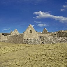
Livestock farming, particularly cattle, sheep, and alpacas, drives the economic life of communities here on the high plateau. These animals thrive in the thin air and cold, becoming the foundation of local livelihoods and daily routines.
The community of curious travelers
AroundUs brings together thousands of curated places, local tips, and hidden gems, enriched daily by 60,000 contributors worldwide.