Chimboya, Mountain peak in Cusco Department, Peru
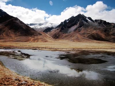
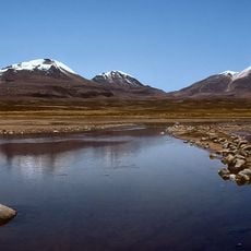
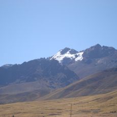
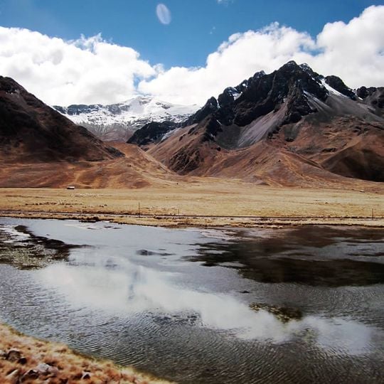
Chimboya is a mountain in the La Raya range of the Andes, reaching 5,489 metres on the border of Peru's Cusco and Puno regions. Its highest summit is a dark rock peak with a sharp, uneven crest; upper faces are bare black and grey rock streaked with narrow white snow bands, while lower flanks are bare reddish-brown earth and scree. A secondary rounded, snow-covered summit lies to the left along the same jagged ridge.
Chimboya lies on the border between the Cusco and Puno regions, in the La Raya range of the Andes. Its summit reaches about 5,489 metres. The mountain stands northeast of La Raya Pass, with Kunka to the southwest and Yana Khuchilla to the northwest. It is also recorded under the names Chimbolla, Inchurusi, Iruna and Vilcanota.
The mountain carries several names: Chimboya or Chimbolla, possibly from Aymara Chimpuya or Chimpulla, and also Inchurusi, Iruna or Vilcanota. The Quechua form Willkanuta appears in the English source. The peak stands on the Cusco–Puno departmental boundary, in Layo District (Canas Province) and Santa Rosa District (Melgar Province), so the summit is shared by two regions.
Visitors should plan several days for altitude acclimatization since temperatures drop dramatically at this elevation and weather conditions can change unexpectedly. The area requires appropriate gear and physical conditioning before attempting any summit climb.
Chimboya also appears in sources under the names Chimbolla, Inchurusi, Iruna and Vilcanota, and the Aymara origin of Chimpuya or Chimpulla is proposed but not confirmed. It lies northeast of the La Raya Pass and the mountain Kunka, southeast of Yana Khuchilla, on the Cusco–Puno border.
The community of curious travelers
AroundUs brings together thousands of curated places, local tips, and hidden gems, enriched daily by 92,619 contributors worldwide.