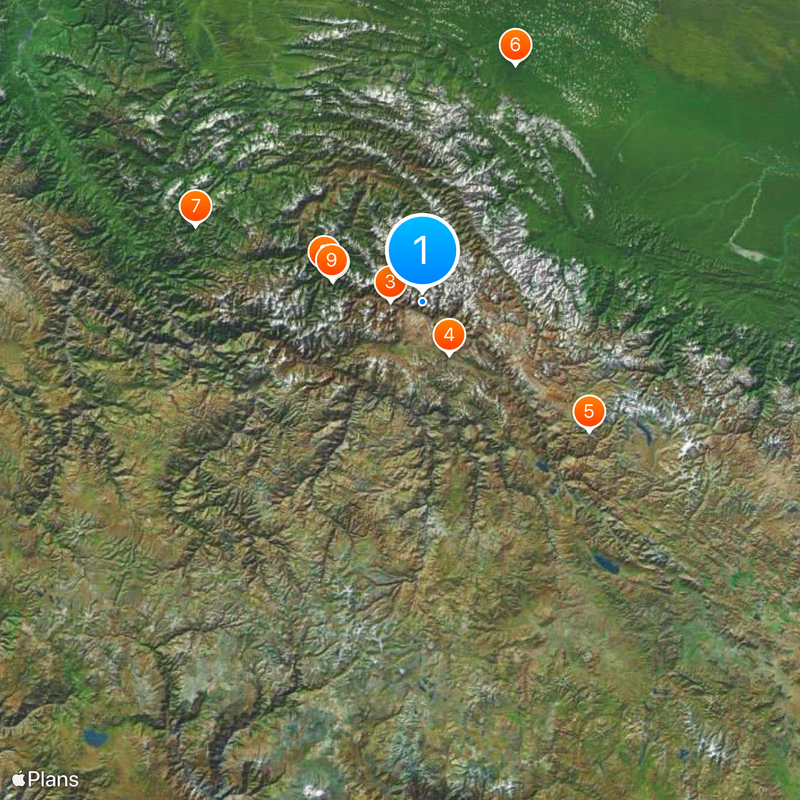
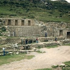
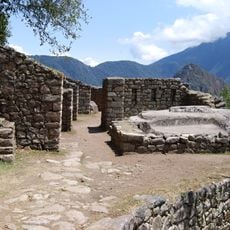
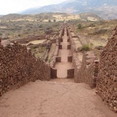
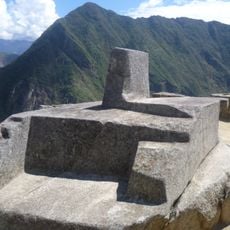
Cusco Department, Administrative region in southeastern Peru
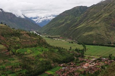
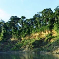
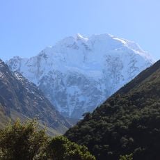
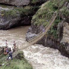
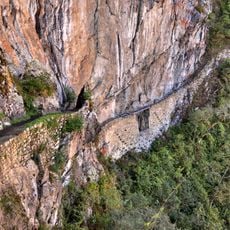
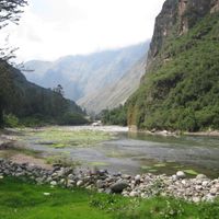
This administrative region comprises 13 provinces in southeastern Peru and borders seven other departments, including Madre de Dios, Ucayali, and Puno. The landscape ranges from Andean plateaus to Amazon rainforest zones, offering different elevations and climates within the same territory.
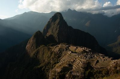
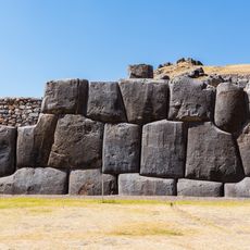
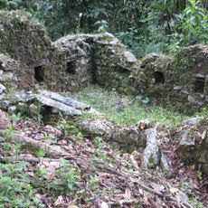
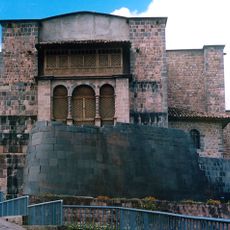
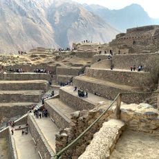
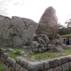
This territorial unit emerged after Peru gained independence in 1821 and integrated areas that once belonged to the heartland of the Inca Empire. Later reforms in the 20th century adjusted internal provincial boundaries and strengthened regional self-governance within the national framework.
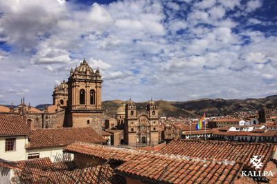
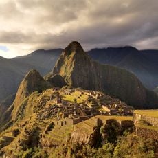
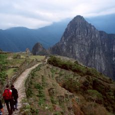
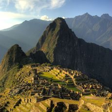
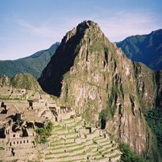
The name of this administrative region comes from the Quechua word meaning "navel of the world" Cuzco, reflecting its central role during the Inca period. Today Quechua speakers make up more than half the population and use their language in daily interactions, local markets, and public ceremonies throughout the territory.
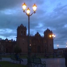
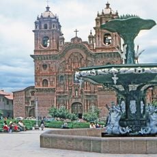
Government offices and administrative services are located mainly in the capital city, which sits above 3,000 m (9,800 ft) above sea level. Travelers should acclimatize before moving across the provinces, as many areas sit at high elevations.
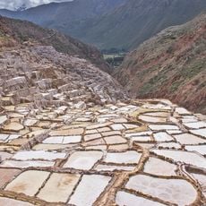
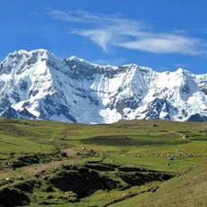
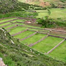
The Plain of Anta in the northern part of this region produces specialized highland crops such as native potato varieties and quinoa at around 3,000 m (9,800 ft). Local farmers maintain cultivation methods adapted to the extreme altitude and dry climate for centuries.
Location: Peru
Capital city: Cusco
Shares border with: Ucayali Department, Madre de Dios Department, Puno Department, Arequipa Department, Apurimac Department, Ayacucho Department, Junin Department
Address: Cusco, Peru
Website: http://cusco.biz/departamento-del-cusco
GPS coordinates: -13.26000,-72.11000
Latest update: December 4, 2025 19:03
This collection includes towns established above 3,000 meters altitude, mainly located in the Andes and on Asian highlands. These urban centers house several million inhabitants who live daily under conditions where oxygen is scarce. La Rinconada in Peru reaches 5,300 meters, making it the highest city in the world, while La Paz in Bolivia, at 3,639 meters, has over 1.6 million residents. Sites with historical significance such as Potosí in Bolivia, founded in the 16th century for its silver mines and now a UNESCO World Heritage site, and Lhasa in Tibet, the former capital of the Tibetan kingdom with dozens of Buddhist temples including the renowned Jokhang Temple, are included. Additionally, towns like Puno in Peru or Shigatse in China demonstrate human adaptation to extreme environments, creating communities of hundreds of thousands. These destinations offer a look into Andean and Himalayan cultures shaped by elevation and provide exceptional travel experiences.
Machu Picchu
48.4 km
Inca Trail to Machu Picchu
16.6 km
Saqsaywaman
30.9 km
Manu National Park
133.9 km
Vilcabamba
125.5 km
Historic Sanctuary of Machu Picchu
53.7 km
Huayna Picchu
48.6 km
Coricancha
32.4 km
Moray
12.1 km
Choquequirao
83.9 km
Cusco Cathedral
31.9 km
Plaza de Armas
31.9 km
Salcantay
48 km
Ollantaytambo
17 km
Cotuahusi canion
244.8 km
Temple of the Moon
48.8 km
Ausangate
112 km
Tambomachay
28.8 km
Intipuncu
47.1 km
Intihuatana, Urubamba
48.4 km
Queshuachaca
142 km
Q'inqu
31.7 km
Tipón
49.5 km
Waqrapukara
95.9 km
Inca Bridge
48.3 km
Puka Pukara
29.5 km
Vitcos
90.4 km
Sayhuite
81.6 kmReviews
Visited this place? Tap the stars to rate it and share your experience / photos with the community! Try now! You can cancel it anytime.
Discover hidden gems everywhere you go!
From secret cafés to breathtaking viewpoints, skip the crowded tourist spots and find places that match your style. Our app makes it easy with voice search, smart filtering, route optimization, and insider tips from travelers worldwide. Download now for the complete mobile experience.
A unique approach to discovering new places❞
— Le Figaro
All the places worth exploring❞
— France Info
A tailor-made excursion in just a few clicks❞
— 20 Minutes