La Convención Province
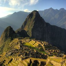
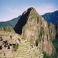
La Convención Province, Administrative province in Cuzco Department, Peru
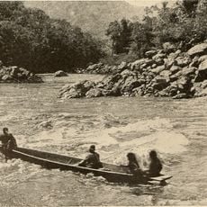
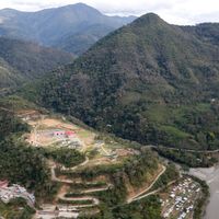
La Convención Province is an administrative region in Cusco that stretches from high mountain terrain to lower Amazon basin areas. The province is divided into fourteen districts, each with distinct geography and communities.
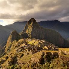
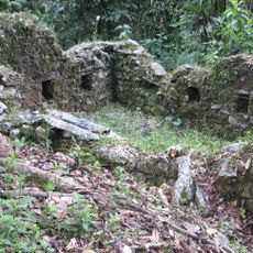
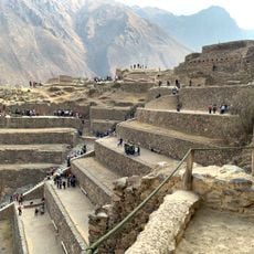
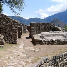
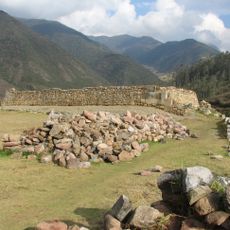
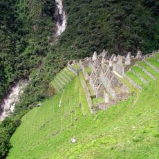
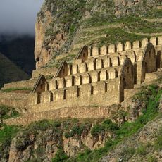
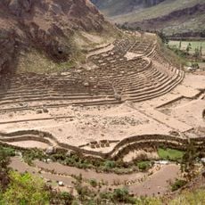
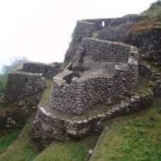
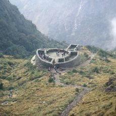
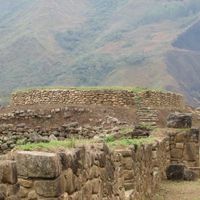
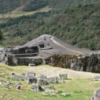
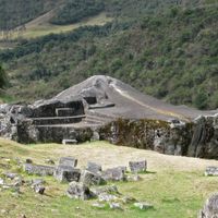
The area was originally settled by the Inca and later became an important agricultural region. Coffee farming became central to the region's economy starting in the colonial period.
Asháninka, Machiguenga, Yine, and Quechua peoples shape daily life with their own languages and customs across the districts. You can see these traditions in local crafts, community practices, and the way people organize their work and celebrations.
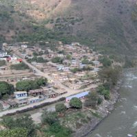
Quillabamba serves as the provincial capital and main hub for reaching remote areas within the territory. It offers basic services and accommodation for travelers exploring the different districts and surrounding regions.
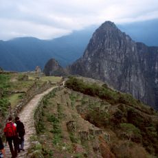
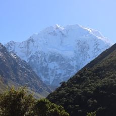
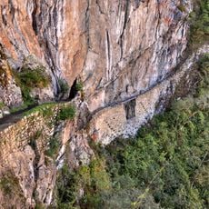
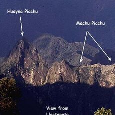
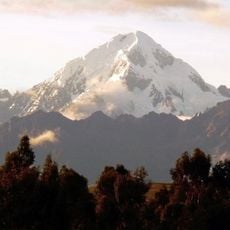
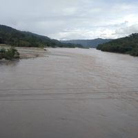
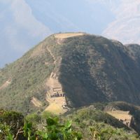
The territory contains Salcantay, a towering peak over 6,000 meters high, contrasting sharply with lowland Amazon plains. This dramatic change in elevation creates distinct climates and ecosystems in close proximity to each other.
Location: Cusco Department
Capital city: Quillabamba
Shares border with: Anta Province, Calca Province, Urubamba Province, Abancay Province, Andahuaylas Province, Huanta Province, La Mar Province, Satipo Province, Manú Province, Atalaya Province
GPS coordinates: -12.86333,-72.69306
Latest update: December 7, 2025 09:20
Machu Picchu
37 km
Vilcabamba
56 km
Historic Sanctuary of Machu Picchu
30.6 km
Huayna Picchu
36.3 km
Salcantay
54.6 km
Temple of the Moon
35.9 km
Intipuncu
38.2 km
Intihuatana, Urubamba
37 km
Inca Bridge
37.9 km
Vitcos
36.9 km
Wiñay Wayna
40.4 km
Llaqtapata
36.7 km
Patallaqta
50.2 km
Veronica Mountain
52 km
Puyupatamarca
42 km
Runkuraqay
45.6 km
Sayacmarca
44.9 km
Ñusta Hisp'ana
37.3 km
Choquequirao Regional Conservation Area
62.3 km
Wamanmarka
27.7 km
Pumasillo
45 km
Cusichaca River
49.4 km
Padreyoc
47.9 km
Vilcabamba River
16.8 km
Sacsarayoc
45 km
Lucumayo River
17.3 km
Cocalmayo
29.2 km
Nevado Humantay
57 kmReviews
Visited this place? Tap the stars to rate it and share your experience / photos with the community! Try now! You can cancel it anytime.
Santa Ana District
Echarate District
Huayopata District
Maranura District
Ocobamba District, La Convención
Quellouno District
Kimbiri District
Santa Teresa District
Vilcabamba District
Pichari District
Inkawasi District
Villa Virgen District
District de Villa Kintiarina
Megantoni District, La Convención Province
Discover hidden gems everywhere you go!
From secret cafés to breathtaking viewpoints, skip the crowded tourist spots and find places that match your style. Our app makes it easy with voice search, smart filtering, route optimization, and insider tips from travelers worldwide. Download now for the complete mobile experience.
A unique approach to discovering new places❞
— Le Figaro
All the places worth exploring❞
— France Info
A tailor-made excursion in just a few clicks❞
— 20 Minutes