Enable Location

We need your location to show you interesting places around you

Discover nearby places

Find interesting locations and hidden gems around you

Precise directions

Get accurate directions and distances to places

Your location is never shared with other users. It's only used when you tap the location button.

Urubamba Province

Log in to your account

Start exploring — it's free

Trusted by 62,860 travelers worldwide

Continue with Google
Continue with Apple
or

We will send you a code to connect

By continuing, you accept our Terms and Conditions and our Privacy Policy

Check your inbox

We've sent a pincode in your inbox. Please enter the code below.

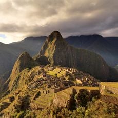
Urubamba Province, Administrative province in Cusco Department, Peru

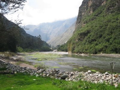
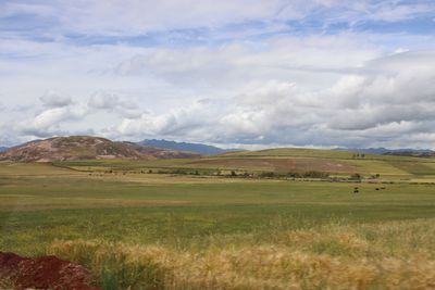
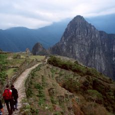
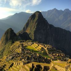
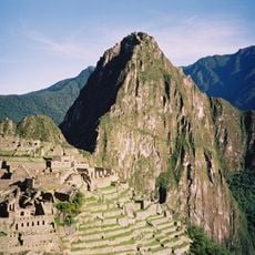
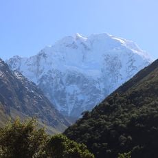
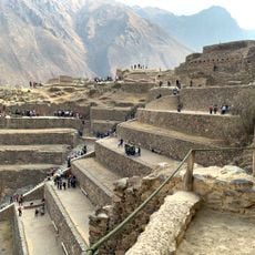
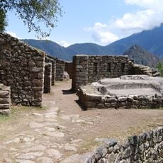
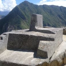
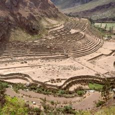
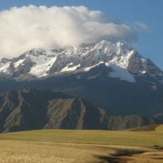
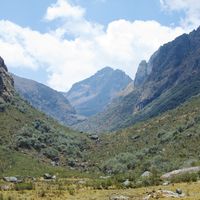
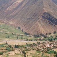
Urubamba Province is an administrative region in the Cusco Department, located about 57 kilometers northwest of Cusco city, encompassing seven districts including Chinchero, Ollantaytambo, and Machu Picchu. The area spans a fertile valley with mountains rising to snow-capped peaks and is crossed by the Vilcanota River.

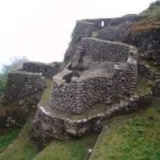
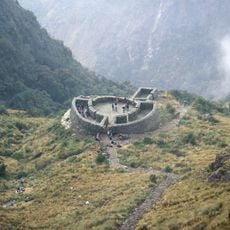
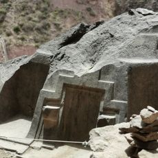
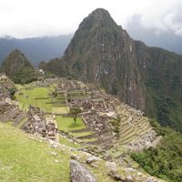
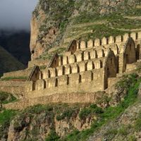
The area was officially recognized as an administrative province through government decree in 1825 and received designation as an archaeological province of Peru in 1962. This recognition reflects the region's major importance for the country's archaeological heritage.

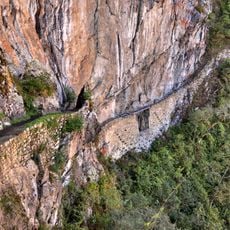
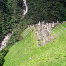
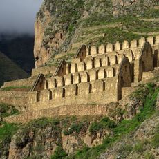
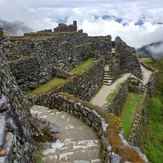
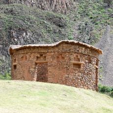
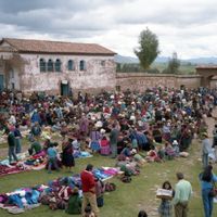
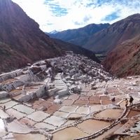
The valley was a core settlement area for the Inca, who established communities and built agricultural terraces that still shape the landscape you see today. The region remains deeply connected to farming traditions and continues to be the heartland of Andean culture in this part of the highlands.

The region sits at about 2,588 meters (8,500 feet) elevation where temperatures range between 4 and 21 degrees Celsius (39 to 70 degrees Fahrenheit), so bring layers and cold-weather protection for higher areas. The best time to visit is the dry season from May to October when weather conditions are most stable.

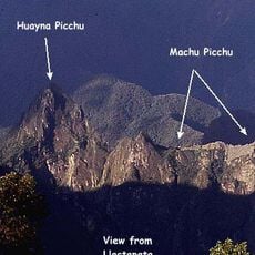
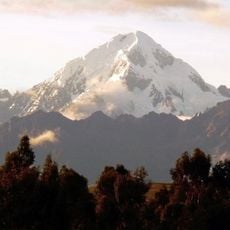
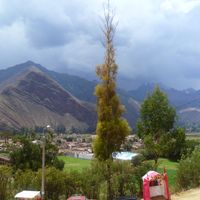
Several snow-capped peaks scattered across the area, such as Willka Qasa and Hatun Luychu, are visible from many locations and create an impressive mountain backdrop alongside the historical sites. These peaks held religious meaning in Inca culture beyond being simple geographic features.

The community of curious travelers

AroundUs brings together thousands of curated places, local tips, and hidden gems, enriched daily by 60,000 contributors worldwide.

Start exploring
Location
Capital city
Urubamba
Shares border with
Anta Province, Calca Province, Cusco Province, La Convención Province
GPS coordinates
-13.31033,-72.12000
Latest update
December 20, 2025 02:32
« Urubamba Province - Administrative province in Cusco Department, Peru » is provided by Around Us (aroundus.com). Images and texts are derived from Wikimedia project under a Creative Commons license. You are allowed to copy, distribute, and modify copies of this page, under the conditions set by the license, as long as this note is clearly visible.

Discover hidden gems everywhere you go!

From secret cafés to breathtaking viewpoints, skip the crowded tourist spots and find places that match your style. Our app makes it easy with voice search, smart filtering, route optimization, and insider tips from travelers worldwide. Download now for the complete mobile experience.

Around Us App Screenshot

A unique approach to discovering new places

Le Figaro

All the places worth exploring

France Info

A tailor-made excursion in just a few clicks

20 Minutes

Around Us
Travel Guide & Maps
Download

Send to your phone

QR Code
1

Open the camera app on your mobile.

2

Point at the QR code with your camera. A notification will appear.

3

Tap the notification to open the link.