Enable Location

We need your location to show you interesting places around you

Discover nearby places

Find interesting locations and hidden gems around you

Precise directions

Get accurate directions and distances to places

Your location is never shared with other users. It's only used when you tap the location button.

Inca Trail to Machu Picchu

Log in to your account

Start exploring — it's free

Trusted by 63,117 travelers worldwide

Continue with Google
Continue with Apple
or

We will send you a code to connect

By continuing, you accept our Terms and Conditions and our Privacy Policy

Check your inbox

We've sent a pincode in your inbox. Please enter the code below.

Inca Trail to Machu Picchu
Discussion Reviews 6 Photos 1 Collections
137k Popularity

Inca Trail to Machu Picchu, Ancient path in Sacred Valley, Peru

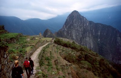
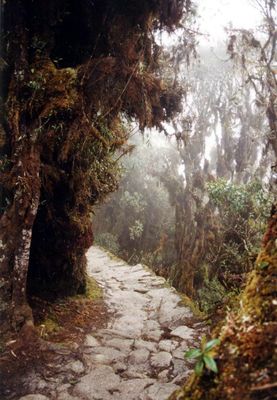
The Inca Trail to Machu Picchu is a hiking route through the mountains in the Cusco Department of Peru, linking several archaeological sites over roughly 26 miles (42 kilometers). The route crosses different vegetation zones and ends at the entrance to the historic site of Machu Picchu.

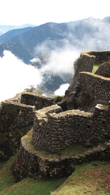
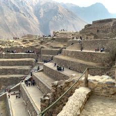
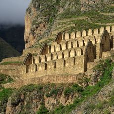
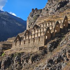
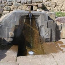
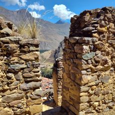
The network of stone paths was built in the 15th century as part of a larger system connecting regions across the Inca Empire. The route served to transport goods and messages between the highlands and the valleys.

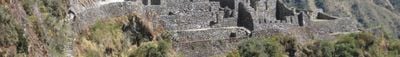
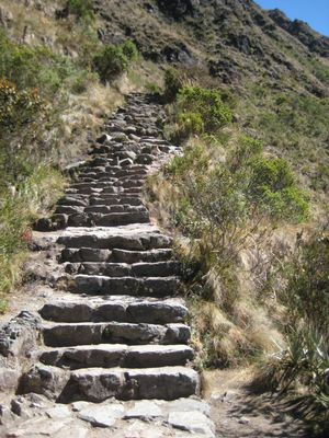
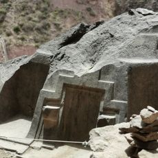
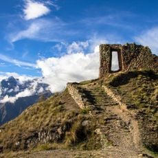
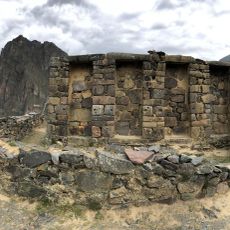
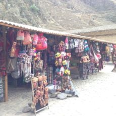
Stone stairways and carved pathways show how travelers once moved through these mountains at different altitudes and climates. Today, hikers pass rest stations and small ruins that once served as supply points and shelters for those crossing the terrain.

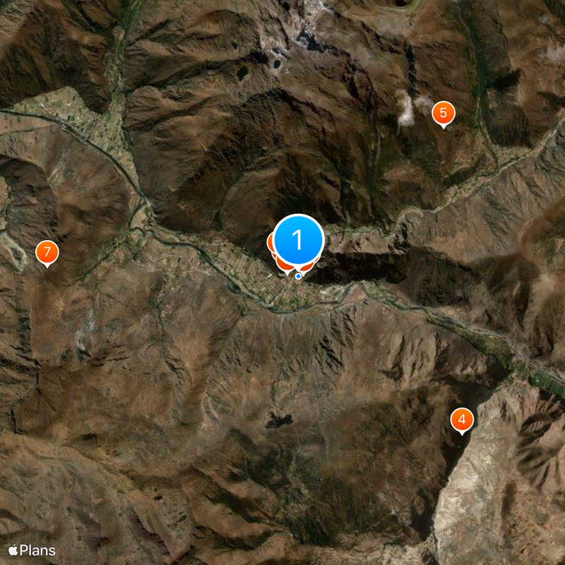
Permits for the route are limited to 500 people per day, including guides and porters, so booking several months ahead is recommended. The hike usually takes four days and requires good physical condition for the steep climbs.

At over 13,800 feet (4,200 meters) at Dead Woman's Pass, the landscape shifts from alpine grassland to dense cloud forest within a few miles. Temperature can swing between morning frost and humid warmth in the valleys on the same day.

The community of curious travelers

AroundUs brings together thousands of curated places, local tips, and hidden gems, enriched daily by 60,000 contributors worldwide.

Start exploring
Location
Part of
Inca road system
Address
Ave Pachacutec 102, Aguas Calientes 08000, Peru
GPS coordinates
-13.25810,-72.26330
Latest update
December 12, 2025 17:31
The most impressive stairs in the World

Stairs serve not only to overcome elevation changes but often rank among the notable structures of their cities. The Spanish Steps in Rome with its 135 steps has connected two districts since 1725 and became a meeting point for locals and visitors. In Montmartre, 222 steps lead to the Basilica of...

Reviews
Share your experience

No review yet

Discussions
Start a discussion...

No discussion yet

« Inca Trail to Machu Picchu - Ancient path in Sacred Valley, Peru » is provided by Around Us (aroundus.com). Images and texts are derived from Wikimedia project under a Creative Commons license. You are allowed to copy, distribute, and modify copies of this page, under the conditions set by the license, as long as this note is clearly visible.

Discover hidden gems everywhere you go!

From secret cafés to breathtaking viewpoints, skip the crowded tourist spots and find places that match your style. Our app makes it easy with voice search, smart filtering, route optimization, and insider tips from travelers worldwide. Download now for the complete mobile experience.

Around Us App Screenshot

A unique approach to discovering new places

Le Figaro

All the places worth exploring

France Info

A tailor-made excursion in just a few clicks

20 Minutes

Around Us
Travel Guide & Maps
Download

Send to your phone

QR Code
1

Open the camera app on your mobile.

2

Point at the QR code with your camera. A notification will appear.

3

Tap the notification to open the link.