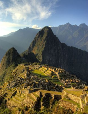
Historic Sanctuary of Machu Picchu, Archaeological complex in Province of Anta, Peru
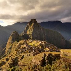
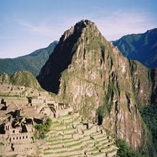
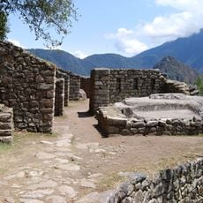
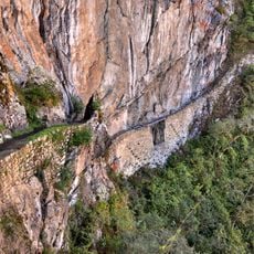
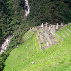
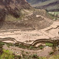
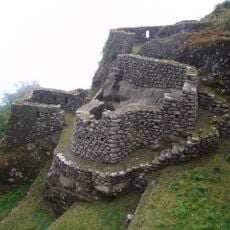
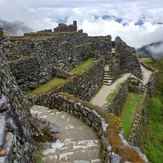
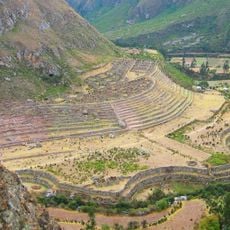
The Historic Sanctuary of Machu Picchu is an archaeological complex situated on a mountain ridge between two peaks in the Peruvian Andes within Machupicchu District. The site comprises more than 150 buildings made of granite blocks, including temples, residences, and ceremonial plazas connected by steep staircases and narrow pathways.
Construction of this site began under Emperor Pachacuti around the mid-15th century and continued over several decades. Following the Spanish conquest, inhabitants left the grounds, which then became overgrown with dense jungle until American explorer Hiram Bingham brought attention to it in 1911.
The original name of this settlement remains unknown because the Inca left no written records, and the designation Machu Picchu only came into common use in the early 20th century. Visitors today can observe small trapezoidal niches within residential areas where household items and religious figurines were stored.
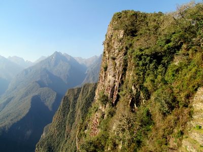
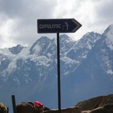
Access is provided either by a winding road served by shuttle buses or on foot along hiking trails that take several hours. Visitors should prepare for changing weather and strong sun exposure by bringing sufficient water and sun protection.
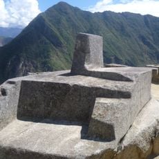
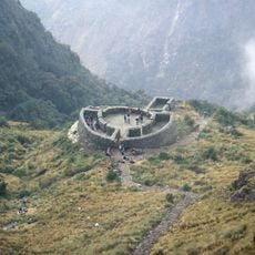
The largest sundial at the site is called Intihuatana and served as an astronomical instrument the Inca used to determine seasons and religious festival dates. Despite the strong earthquakes in this region, the stone structure shows no cracks, highlighting the exceptional construction methods.
The community of curious travelers
AroundUs brings together thousands of curated places, local tips, and hidden gems, enriched daily by 60,000 contributors worldwide.