Padreyoc, Mountain summit in Cordillera Vilcabamba, Peru
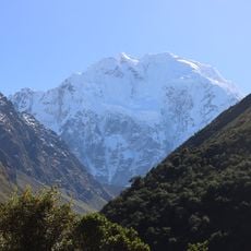
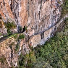
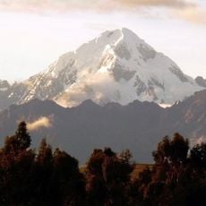
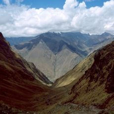
Padreyoc is a peak in the Cordillera Vilcabamba mountain range located in the Cusco Region at approximately 5,771 meters elevation. It sits between the Apurimac and Vilcanota river watersheds and forms part of a significant ridge system in the area.
The first recorded ascent took place in 1965 when the Japanese Doishisha University Alpine Club reached the summit, marking early exploration by international climbers. Long after that first climb, mountaineering activity in the area remained limited until recent expeditions resumed visits to the peak.
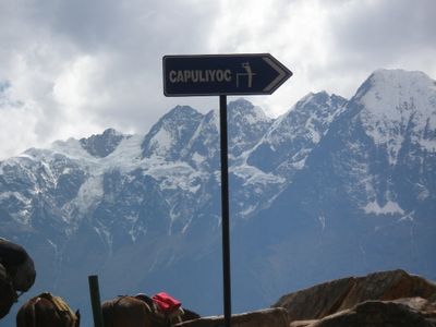
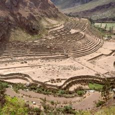
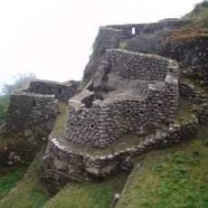
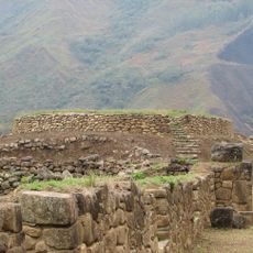
The peak sits near territories important to the Inca Empire, where local communities have maintained traditional knowledge about mountain passages and routes. The local name reflects deep roots in pre-Hispanic geography and remains in use among people living in surrounding valleys.
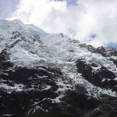
Climbers access the mountain through Urubamba and establish camps at higher elevations to adjust to altitude conditions. The route demands mountaineering experience and proper equipment suitable for extreme elevation and weather conditions.
The peak remained without recorded ascents for about 55 years following the 1965 expedition, making it an unusual case of abandonment in mountaineering history. New expeditions began returning to the mountain in 2021, reviving interest in this long-ignored summit.
The community of curious travelers
AroundUs brings together thousands of curated places, local tips, and hidden gems, enriched daily by 60,000 contributors worldwide.