Enable Location

We need your location to show you interesting places around you

Discover nearby places

Find interesting locations and hidden gems around you

Precise directions

Get accurate directions and distances to places

Your location is never shared with other users. It's only used when you tap the location button.

Pumahuanca

Log in to your account

Start exploring — it's free

Trusted by 62,623 travelers worldwide

Continue with Google
Continue with Apple
or

We will send you a code to connect

By continuing, you accept our Terms and Conditions and our Privacy Policy

Check your inbox

We've sent a pincode in your inbox. Please enter the code below.

Pumahuanca

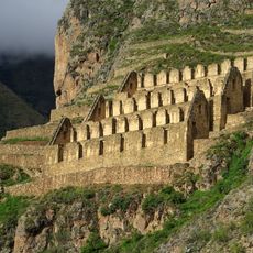
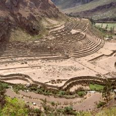
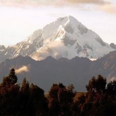
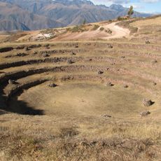
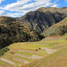
Pumahuanca, Mountain peak in Urubamba Range, Peru

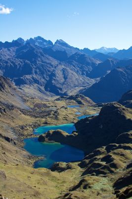
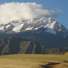
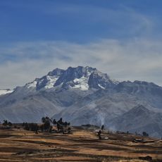
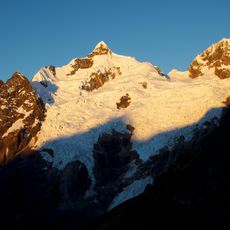
Pumahuanca is a mountain peak in the Cordillera Urubamba rising to 5,318 meters with steep slopes and prominent snow ridges between Halancoma and Chicon. The mountain features rock and ice formations that create several climbing routes of varying difficulty.

The first documented ascent took place in 1958 via the western route, opening new possibilities for exploration in the Urubamba range. This climb marked an important step in the development of mountaineering activity in the region.

The mountain name comes from Quechua, joining words for cougar and rock, showing how indigenous peoples connected their world to animals and landscape features. This naming reflects the long relationship between Andean communities and their mountains.

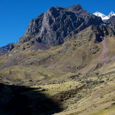
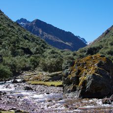
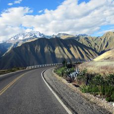
Climbers typically start from Cusco, travel to Yanahuara, then hike through the valley for about three hours to reach base camp. Proper acclimatization is essential before attempting the summit due to the high altitude throughout the route.

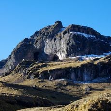
The final stretch involves crossing steep ice and rock with gradients between 45 and 60 degrees, making it a short but demanding technical passage. This section separates casual hikers from experienced climbers and demands careful footwork on mixed terrain.

The community of curious travelers

AroundUs brings together thousands of curated places, local tips, and hidden gems, enriched daily by 60,000 contributors worldwide.

Start exploring
Elevation above the sea
5,318 m
GPS coordinates
-13.18835,-72.13902
Latest update
December 14, 2025 18:41
« Pumahuanca - Mountain peak in Urubamba Range, Peru » is provided by Around Us (aroundus.com). Images and texts are derived from Wikimedia project under a Creative Commons license. You are allowed to copy, distribute, and modify copies of this page, under the conditions set by the license, as long as this note is clearly visible.

Discover hidden gems everywhere you go!

From secret cafés to breathtaking viewpoints, skip the crowded tourist spots and find places that match your style. Our app makes it easy with voice search, smart filtering, route optimization, and insider tips from travelers worldwide. Download now for the complete mobile experience.

Around Us App Screenshot

A unique approach to discovering new places

Le Figaro

All the places worth exploring

France Info

A tailor-made excursion in just a few clicks

20 Minutes

Around Us
Travel Guide & Maps
Download

Send to your phone

QR Code
1

Open the camera app on your mobile.

2

Point at the QR code with your camera. A notification will appear.

3

Tap the notification to open the link.