Huamanchoque, Mountain summit in Sacred Valley, Peru
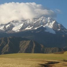
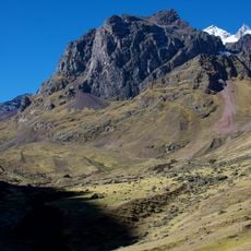
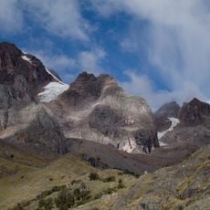
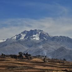
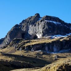
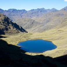
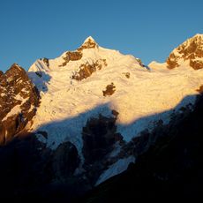
Huamanchoque is a 5,156-metre summit in the Urubamba range of the Andes, in Calca District, Calca Province, Cusco Region, north of the Vilcanota River. It stands at the Cancha Cancha valley, where the Lares trek route passes, south of Canchacanchajasa, southwest of Sahuasiray and Cóndorhuachana, and north of a lower peak also named Cóndorhuachana. The nearest town is Huayllabamba.
The sources record no historical events, construction or boundary role for Huamanchoque; its documented record is geographic. It stands 5,156 metres high in the Urubamba range of the Andes, in Calca District, Calca Province, Cusco Region, north of the Vilcanota River. The Lares trek route passes through the Cancha Cancha valley below it, and Huayllabamba is one of the nearest towns.
The name Huamanchoque combines Quechua waman, meaning falcon or variable hawk, with chuqi, a term for metal or precious metal, borrowed from Aymara. The peak stands above the Cancha Cancha valley, where the Lares trek route passes, and the nearest town is Huayllabamba in Calca District.
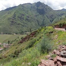
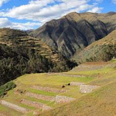
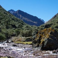
The summit is best reached via the Lares trek route through Cancha Cancha valley, with the town of Huayllabamba serving as a good starting point. The path is easiest to walk during the drier months.
The summit forms part of a distinct grouping with neighboring peaks Sahuasiray and Condorhuachana, creating a recognizable mountain formation. This arrangement creates different visual profiles depending on where you stand in the valley below.
The community of curious travelers
AroundUs brings together thousands of curated places, local tips, and hidden gems, enriched daily by 92,630 contributors worldwide.