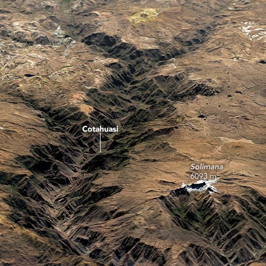
Cotuahusi canion, Natural canyon in Arequipa Department, Peru
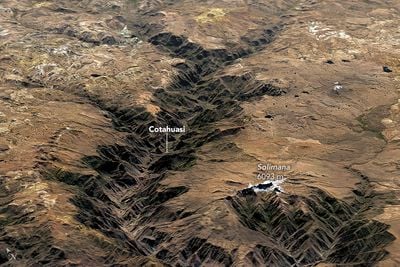
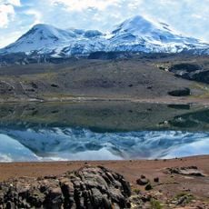
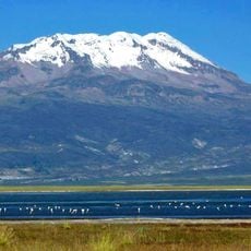
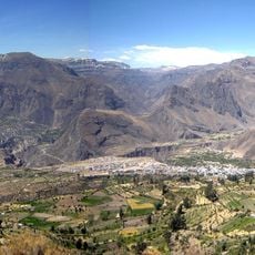
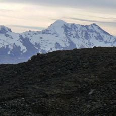
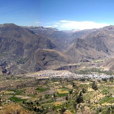
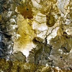
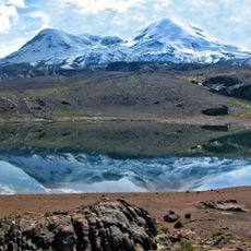
Cotahuasi Canyon is a deep, branching gorge cut into barren brown and tan terrain in the Andes, about 400 km northwest of Arequipa. Its V-shaped trench runs diagonally between eroded ridges, with dark shadowed depths and sharp gullies feeding the main incision. The Cotahuasi River carved the canyon between the Coropuna and Solimana massifs, and white clouds often fill the middle depth, hiding the valley floor.
The Wari occupied the region in the Late Horizon before the Inca took it around 1165 AD, using the canyon as a route linking Cusco with the coast along the salt route. Under the viceroyalty, La Unión became a mining and wine-growing centre. In 1834 Cotahuasi backed General Orbegoso, who granted La Unión provincial status on 4 May 1835; the town became a city on 12 September 1898.
The name Cotahuasi derives from Quechua Kutawasi, explained as "ccoto" (gathered) and "huasi" (house), or from Aymara "cota" (lagoon). Communities still weave carpets and keep colonial churches and Inca tracks, and festivals are held through the year. Wines are made artisanally in the province.
Getting there requires a bus journey from Arequipa that takes 10 to 12 hours, climbing through high mountain passes. Travelers should prepare for long hours on the road and significant changes in elevation.
The area is a protected landscape spanning thousands of square kilometers with 19 different ecological zones. This diversity allows rare medicinal plants to grow, which locals have harvested for healing purposes for generations.
The community of curious travelers
AroundUs brings together thousands of curated places, local tips, and hidden gems, enriched daily by 93,003 contributors worldwide.