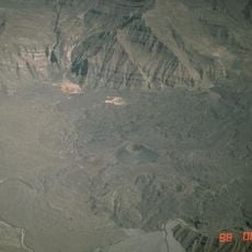
Cotahuasi Subbasin Landscape Reserve, Nature reserve in Arequipa Region, Peru.
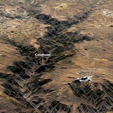
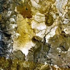
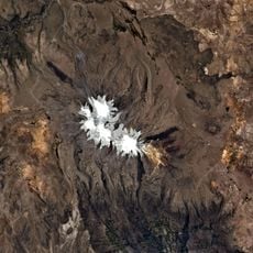
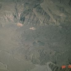
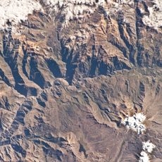
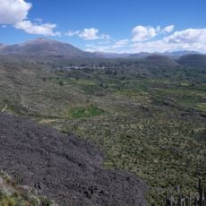
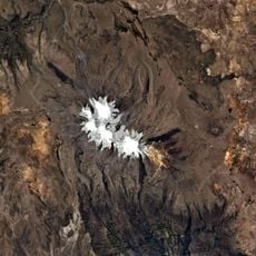
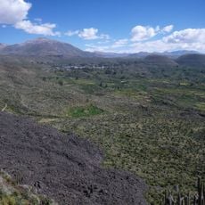
The Cotahuasi Subbasin Landscape Reserve covers 490,550 hectares in La Unión Province, Arequipa Region, about 400 km northwest of Arequipa city. The Cotahuasi River has cut a canyon with a 3,354 m drop measured from the base of Nevado Solimana to the riverbed. The reserve protects hillside scrub, desert and humid high-Andean forest, and borders the departments of Ayacucho, Apurímac and Cusco.
The reserve was created on 23 May 2005 by Supreme Decree No. 027-2005-AG, covering 490,550 hectares in La Unión Province, Arequipa Department. It borders the departments of Ayacucho, Apurímac and Cusco, and protects part of the Central Andean puna and Sechura Desert ecoregions.
Agriculture and camelid herding are the main economic activities in the Cotahuasi subbasin, as recorded for the reserve. Farmers work terraced fields and raise camelids on the surrounding slopes. The reserve's name comes from the Cotahuasi River, which cuts the canyon through the territory.
The reserve sits far from main roads, so visitors need flexible travel plans and plenty of time to reach it. Preparation with local information helps you manage the long journey and the different elevations you will encounter.
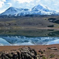
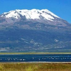
The reserve protects part of two ecoregions, the Central Andean puna and the Sechura Desert. Within its 490,550 hectares, 158 bird species have been recorded, alongside hillside scrub and high Andean humid forests.
The community of curious travelers
AroundUs brings together thousands of curated places, local tips, and hidden gems, enriched daily by 93,002 contributors worldwide.