Chaupi Orco, Mountain peak in Cordillera Apolobamba, Bolivia and Peru
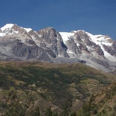
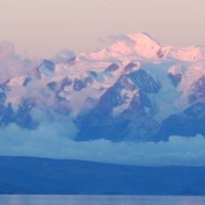
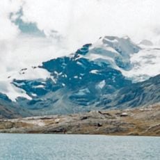
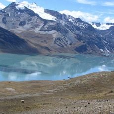
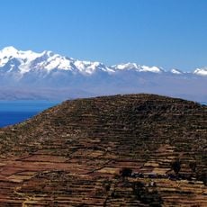
Chaupi Orco is a peak in the Cordillera Apolobamba straddling Bolivia and Peru, rising to 6,044 meters above sea level. It forms part of a significant ice massif that covers more than 100 square kilometers, with extensive glaciers and rock ridges defining its landscape.
German mountaineers Werner Karl, Hans Richter, and Hans Wimmer made the first recorded ascent on August 1, 1957. This early exploration by European climbers marked an important moment in opening up the Apolobamba range to mountaineering attention.
The mountain carries a name rooted in Quechua meaning middle mountain, reflecting the language of indigenous Andean peoples in this region. The Aymara people also know it by the alternative name Viscachani, showing how different communities have their own ways of calling this peak.
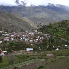
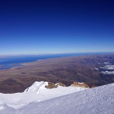
Routes to the summit start from the Paso Pelechuco road and demand careful preparation due to dangerous seracs and steep ridge lines. Visitors should expect extreme altitude and alpine conditions, requiring experienced guides and proper high-altitude climbing equipment.
The summit has a remarkable topographic isolation of 236 kilometers from other similarly high peaks. This makes it a strikingly isolated mountain, with its parent peak Ausangate situated more than 200 kilometers away across remote terrain.
The community of curious travelers
AroundUs brings together thousands of curated places, local tips, and hidden gems, enriched daily by 60,000 contributors worldwide.