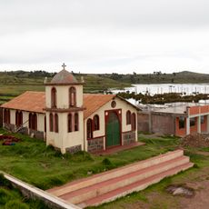
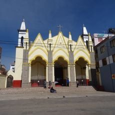
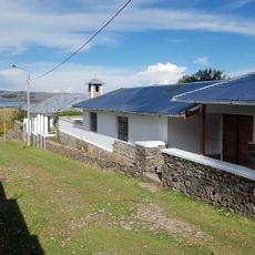
San Antonio de Putina Province, Provincial capital in Puno Region, Peru.
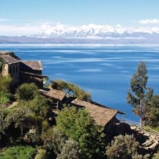
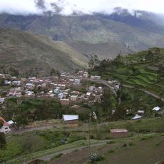
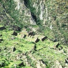
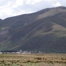
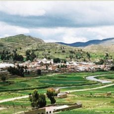
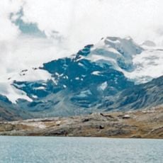
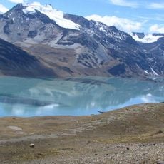
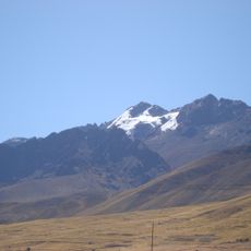
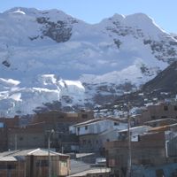
San Antonio de Putina is a province in the Puno Region situated at roughly 3,900 meters elevation, where the Apolobamba mountain range dominates the landscape. The administrative territory includes five districts, with Putina town serving as the regional center.
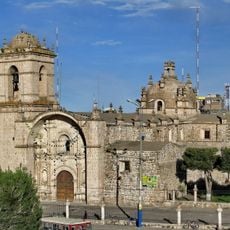
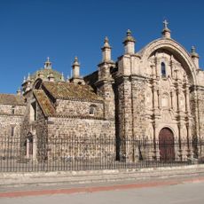
Putina was established in 1595 as a settlement, existing for nearly 4 centuries before the province itself was officially created in 1989. This long history made it a key administrative point in the Andean highlands.
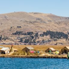
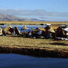
Quechua remains the primary language for most people living here, reflecting deep indigenous roots that shape daily community life. You will notice this heritage reflected in how locals interact and organize their activities around traditional practices.
The area sits at high altitude, so visitors should allow time to acclimate to the elevation before exploring extensively. Warm clothing is essential, especially during evenings and in the mountain zones.
The name comes from Quechua meaning hot or warm water, referring to natural thermal springs that bubble up from underground in the region. These geothermal features remain part of the local identity today.
Location: Puno
Capital city: Putina
Shares border with: Azángaro Province, Carabaya Province, Huancané Province, Sandia Province
Website: http://muniputina.gob.pe
GPS coordinates: -14.91389,-69.87361
Latest update: December 10, 2025 15:53
Titicaca
117.3 km
Uros floating islands
101.3 km
Apachita
70.4 km
Titicaca National Reservation
89.8 km
Sillustani
94.9 km
Estadio Guillermo Briceño Rosamedina
70.8 km
Suches River
84.7 km
Estadio E. Torres Belón
104 km
Apolobamba Integrated Management Natural Area
113.7 km
Iskanwaya
144.3 km
Santa Catalina de Siena
70.3 km
Templo de Santiago Apostol de Lampa
73 km
Inca Uyo
108.9 km
Qulu Qulu
67.8 km
Chaupi Orco
76.1 km
San Juan Bautista, Puno
104.2 km
Pukarani
57.8 kmIntikancha
62.1 km
Puerto Acosta Municipality
107.9 kmMocomoco Municipality
111.6 km
Puno Lighthouse
103.7 km
Jach'a Waracha
81.4 km
Machu Such'i Qhuchi
74.8 km
Chuma Municipality
121.8 km
Convento Franciscano de Juliaca
70.2 km
Cunurana
110.8 km
Monasterio Benedictino de la Resurrección de Chucuito
108.8 km
Palomani
71.5 kmVisited this place? Tap the stars to rate it and share your experience / photos with the community! Try now! You can cancel it anytime.
Discover hidden gems everywhere you go!
From secret cafés to breathtaking viewpoints, skip the crowded tourist spots and find places that match your style. Our app makes it easy with voice search, smart filtering, route optimization, and insider tips from travelers worldwide. Download now for the complete mobile experience.
A unique approach to discovering new places❞
— Le Figaro
All the places worth exploring❞
— France Info
A tailor-made excursion in just a few clicks❞
— 20 Minutes