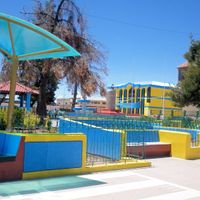
Huancané Province, Administrative province in Puno Region, Peru
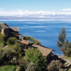
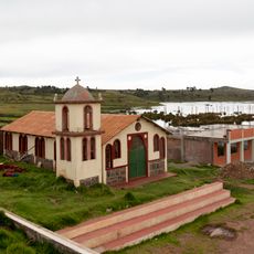
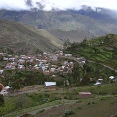
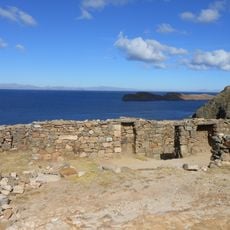
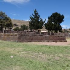
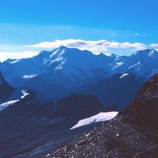
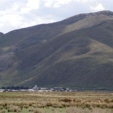
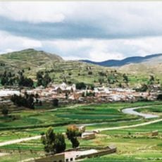
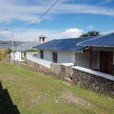
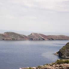
Huancané Province is an administrative region in Peru's Puno region, encompassing mountainous terrain across eight districts. The land rises steeply, with some areas reaching high elevations and varying landscapes throughout the territory.
This province was established in 1827 during the early years after Peru gained independence. The creation reflected how the new nation was reorganizing its administrative divisions across the territory.
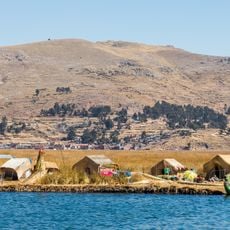
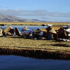
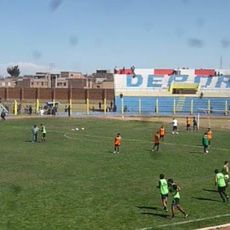
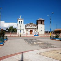
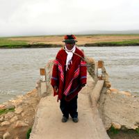
The local communities speak Quechua and Aymara in daily life, keeping indigenous customs alive through everyday interactions and local celebrations. These languages and traditions shape how people gather, trade, and mark important occasions.
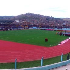
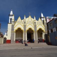
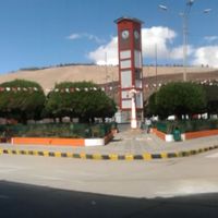
The regional capital sits at high altitude where weather can be cold, especially during winter months. Visitors should prepare for variable conditions and bring suitable clothing designed for mountain areas.
The area borders Bolivia directly, creating a zone where commerce and cultural influences flow between the two countries. This location along the boundary continues to shape local trade and daily interactions.
Location: Puno
Inception: 1827
Capital city: Huancané
Shares border with: Azángaro Province, Moho Province, Puno Province, San Antonio de Putina Province, San Román Province
Website: http://mphuancane.gob.pe
GPS coordinates: -15.20222,-69.76139
Latest update: December 7, 2025 20:24
Titicaca
83.6 km
Uros floating islands
72.2 km
Apachita
102.2 km
Titicaca National Reservation
60.8 km
Sillustani
71.8 km
Estadio Guillermo Briceño Rosamedina
51.3 km
Suches River
65.8 km
Estadio E. Torres Belón
76 km
Apolobamba Integrated Management Natural Area
103.8 km
Chinkana
106.2 km
Santa Catalina de Siena
51.5 km
Templo de Santiago Apostol de Lampa
67.5 km
Inca Uyo
78 km
Qulu Qulu
95.5 km
Chaupi Orco
85.4 km
San Juan Bautista, Puno
76.3 km
Pukarani
56.9 kmIntikancha
56.7 km
Puerto Acosta Municipality
79.2 kmMocomoco Municipality
86.4 km
Puno Lighthouse
75.6 km
Jach'a Waracha
78.1 km
Machu Such'i Qhuchi
78.7 km
Chuma Municipality
96.5 km
Convento Franciscano de Juliaca
51.5 km
Monasterio Benedictino de la Resurrección de Chucuito
77.8 km
Palomani
77.7 km
Jochihuata
105.8 kmVisited this place? Tap the stars to rate it and share your experience / photos with the community! Try now! You can cancel it anytime.
Discover hidden gems everywhere you go!
From secret cafés to breathtaking viewpoints, skip the crowded tourist spots and find places that match your style. Our app makes it easy with voice search, smart filtering, route optimization, and insider tips from travelers worldwide. Download now for the complete mobile experience.
A unique approach to discovering new places❞
— Le Figaro
All the places worth exploring❞
— France Info
A tailor-made excursion in just a few clicks❞
— 20 Minutes