Melgar Province, Administrative province in Puno Department, Peru.
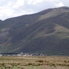
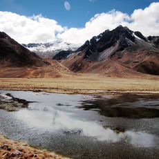
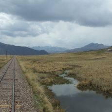
Melgar Province is an administrative province in Puno that stretches across mountainous terrain, valleys, and grassland at high elevation. The territory divides into nine districts, each with its own center of local administration.
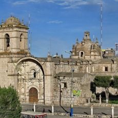
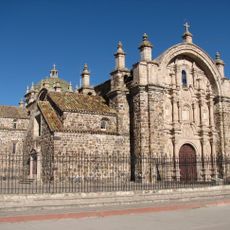
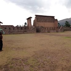
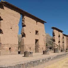
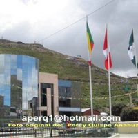
The province developed as an administrative entity with Ayaviri becoming its center and gradually growing into a key connection point between regions of southern Peru. This location helped it gain importance over time.
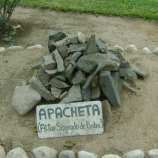
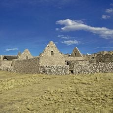
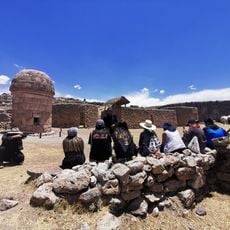
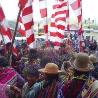
Quechua-speaking communities form the backbone of local life, and their traditions shape daily customs, celebrations, and the way the landscape is used. You see this heritage reflected in traditional textiles, markets, and the rhythm of village life throughout the region.
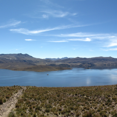
The region sits at high elevation, so it's wise to allow time to adapt to the altitude before doing strenuous activity. The weather tends to be cool and the landscape is mostly open, making weather-appropriate clothing important.
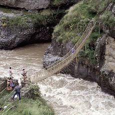
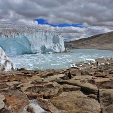
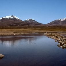
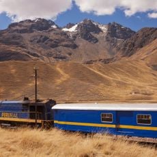
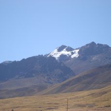
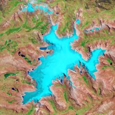
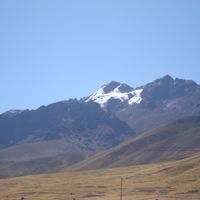
Two major mountain ranges run through the province, creating natural boundaries across the landscape. These ridges contain several peaks that shape how the entire region appears from different angles.
The community of curious travelers
AroundUs brings together thousands of curated places, local tips, and hidden gems, enriched daily by 60,000 contributors worldwide.