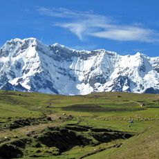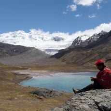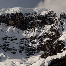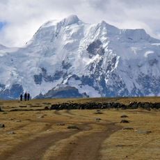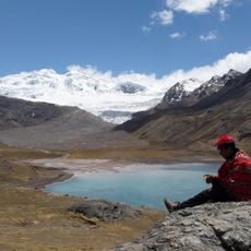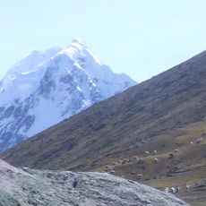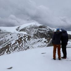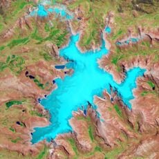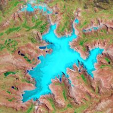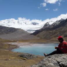
Quelccaya Ice Cap, Tropical glacier in Cordillera Vilcanota, Peru.
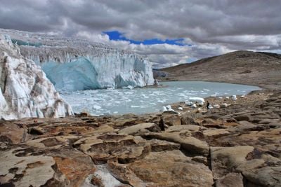
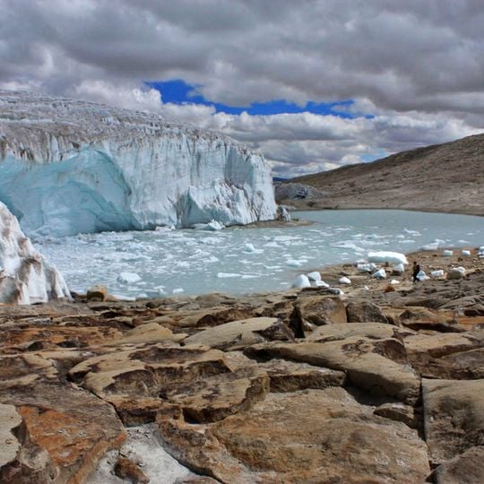
Quelccaya is a tropical ice cap in the Cordillera Oriental of the Peruvian Andes, covering 42.8 square kilometres with ice up to 200 metres thick. Its margin is formed largely by ice cliffs up to 50 metres high, and the largest outlet glacier is Qori Kalis. The photograph shows a steep pale-blue ice face with vertical ridges rising from a grey-green lake strewn with floating ice blocks, with brown and tan rocks in the foreground.
Quelccaya's ice cores were first drilled in 1983 by Lonnie Thompson's team, the first recovered outside the polar regions; two cores of 164 m and 154 m reach back nearly 2,000 years. Oxygen-18 ratios in the upper layers rise sharply over the last 50 years, an indicator of regional warming. Fossil plant remains exposed by the retreating ice were dated to 5,200 BC, showing the cap was then smaller than today.
Local communities view the ice cap as a sacred spirit, known as an apu, and rely on its meltwater for farming and drinking water. This connection shapes how people in the region understand their relationship with the mountain.
Reaching the ice cap requires a four-hour drive from Cusco to Phinaya village, followed by an eight-hour trek across high-altitude terrain. Visitors should allow time for acclimatization and be prepared for changing weather conditions at such elevations.
The ice cap is also called Quenamari, and its name is shared with a town in Corani District whose name comes from the Quechua k'elccay, "to write in". Since 2020 it has formed part of the Área de Conservación Regional Ausangate. The nearest road still lies 40 kilometres away, and pack animals can take three days to cover the rest.
The community of curious travelers
AroundUs brings together thousands of curated places, local tips, and hidden gems, enriched daily by 92,775 contributors worldwide.