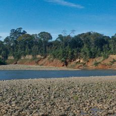
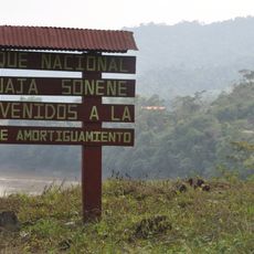
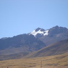
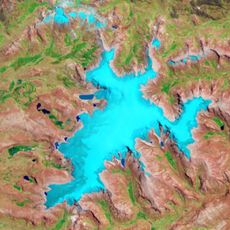
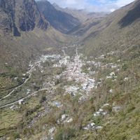
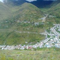
Sandia Province, Administrative province in Puno Department, Peru.
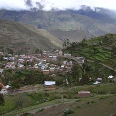
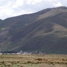
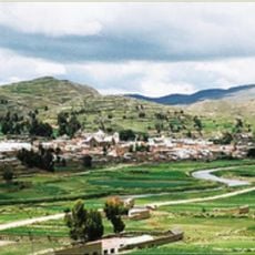
Sandia Province is an administrative region in southeastern Peru with mountain ranges, valleys, and ten districts spread across the territory. The provincial capital serves as the main hub connecting these areas together.
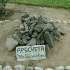
The region was settled by Aymara communities long before Spanish arrival and has deep indigenous roots in the land. This early population shaped how the landscape and settlements developed over centuries.
The people here speak Quechua and Aymara in daily life, and these languages shape how communities interact in villages and at markets. You hear them everywhere when people gather or work.
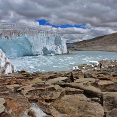
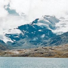
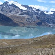
The best time to explore is during the dry season when roads are easier to travel and hiking becomes possible. During the rainy season, many paths become difficult to cross and travel grows harder.
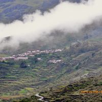
Farmers here cultivate crops at different altitudes, growing potatoes at higher elevations and other crops lower down the slopes. This adaptation to varying heights is key to how communities survive and feed themselves.
Location: Puno Department
Capital city: Sandia
Shares border with: Carabaya Province, San Antonio de Putina Province, Tambopata Province
Website: http://munisandia.gob.pe
GPS coordinates: -14.24824,-69.43102
Latest update: December 7, 2025 20:22
Madidi National Park and Integrated Management Natural Area
118.8 km
Apachita
40.9 km
Estadio Guillermo Briceño Rosamedina
158.3 km
Quelccaya Ice Cap
154 km
Bahuaja-Sonene National Park
109.3 km
Suches River
111.6 km
Apolobamba Integrated Management Natural Area
105.9 km
Santa Catalina de Siena
157.9 km
Qulu Qulu
23.9 km
Chaupi Orco
48.1 km
Pukarani
144.3 kmIntikancha
149.5 km
Puerto Acosta Municipality
149.5 kmMocomoco Municipality
142.6 km
Jach'a Waracha
77.7 km
Machu Such'i Qhuchi
61.1 km
Chuma Municipality
149.9 km
Convento Franciscano de Juliaca
157.8 km
Cunurana
154.6 km
Palomani
56 km
Yurac Huayruro
151 km
Jatun Quenamari
152.3 km
Pata Anjasi
147.7 km
Tarucani
148.6 km
Cuncunani
150 km
Jachatira
149.9 km
Cunorana
153.7 km
Tambopata Research Center
125.6 kmVisited this place? Tap the stars to rate it and share your experience / photos with the community! Try now! You can cancel it anytime.
Discover hidden gems everywhere you go!
From secret cafés to breathtaking viewpoints, skip the crowded tourist spots and find places that match your style. Our app makes it easy with voice search, smart filtering, route optimization, and insider tips from travelers worldwide. Download now for the complete mobile experience.
A unique approach to discovering new places❞
— Le Figaro
All the places worth exploring❞
— France Info
A tailor-made excursion in just a few clicks❞
— 20 Minutes