Janq'u Jaqhi, Mountain summit in La Paz Department, Bolivia.
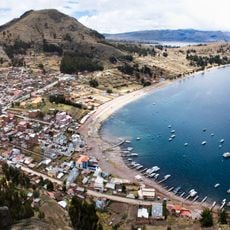
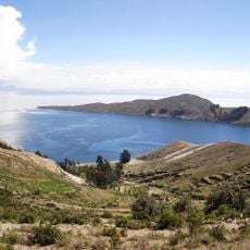
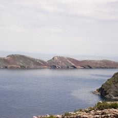
Janq'u Jaqhi is a mountain summit with white limestone cliffs rising to 4,254 meters (13,956 feet) above sea level in the Bolivian Andes. The peak features steep rock faces and sits in a high alpine region with sparse vegetation and harsh weather conditions.
The mountain has served as a geographical boundary between different provinces of La Paz Department since pre-colonial times, marking an important dividing line. This boundary role shaped settlement patterns and how local communities moved through the region across centuries.
The name Janq'u Jaqhi comes from Aymara language, combining janq'u meaning white with jaqhi meaning cliff or precipice. This linguistic connection reflects how local people perceive and describe the mountain's striking appearance.
Reaching the summit requires mountaineering experience, specialized climbing equipment, and physical preparation for high altitude. Access routes begin from nearby settlements, with conditions heavily influenced by weather and season.
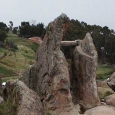
The mountain features multiple rock formations with natural shelters and cave-like overhangs used by local shepherds during seasonal livestock migrations. These protective spaces have been part of the region's herding practices for centuries.
The community of curious travelers
AroundUs brings together thousands of curated places, local tips, and hidden gems, enriched daily by 60,000 contributors worldwide.