Enable Location

We need your location to show you interesting places around you

Discover nearby places

Find interesting locations and hidden gems around you

Precise directions

Get accurate directions and distances to places

Your location is never shared with other users. It's only used when you tap the location button.

Kimsa Chata

Log in to your account

Start exploring — it's free

Trusted by 61,920 travelers worldwide

Continue with Google
Continue with Apple
or

We will send you a code to connect

By continuing, you accept our Terms and Conditions and our Privacy Policy

Check your inbox

We've sent a pincode in your inbox. Please enter the code below.

Kimsa Chata

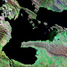
Kimsa Chata, Mountain summit in Ingavi Province, Bolivia

Kimsa Chata is a mountain summit in the Chilla-Kimsa Chata range, located about 15 kilometers southeast of the Wiñaymarka section of Lake Titicaca. The peak rises to 4,735 meters and is framed by neighboring summits such as Nasa Puqi to the north and Chuqi Ch'iwani to the south.

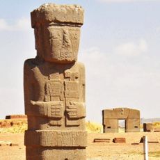
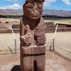
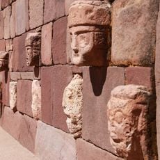
The mountain has been a central location for indigenous ceremonies since pre-Columbian times and stood near the ancient Tiwanaku civilization. The region retained its religious significance for local communities across centuries.

The name Kimsa Chata comes from Aymara and Quechua languages, meaning 'three mountains', and reflects the indigenous linguistic heritage of the region. Local people use this name to describe the distinctive shape of the mountain peak.

Visitors need proper high-altitude gear and must acclimatize before attempting to climb, as oxygen levels decrease significantly at 4,735 meters. It is advisable to go with an experienced guide and plan several days for acclimatization.

The mountain is traversed by the Wakira River valley, which forms a geographical axis between neighboring peaks. This river system connects the Andean region with the larger water network of Lake Titicaca.

The community of curious travelers

AroundUs brings together thousands of curated places, local tips, and hidden gems, enriched daily by 60,000 contributors worldwide.

Start exploring
GPS coordinates
-16.71133,-68.67440
Latest update
December 13, 2025 17:01
« Kimsa Chata - Mountain summit in Ingavi Province, Bolivia » is provided by Around Us (aroundus.com). Images and texts are derived from Wikimedia project under a Creative Commons license. You are allowed to copy, distribute, and modify copies of this page, under the conditions set by the license, as long as this note is clearly visible.

Discover hidden gems everywhere you go!

From secret cafés to breathtaking viewpoints, skip the crowded tourist spots and find places that match your style. Our app makes it easy with voice search, smart filtering, route optimization, and insider tips from travelers worldwide. Download now for the complete mobile experience.

Around Us App Screenshot

A unique approach to discovering new places

Le Figaro

All the places worth exploring

France Info

A tailor-made excursion in just a few clicks

20 Minutes

Around Us
Travel Guide & Maps
Download

Send to your phone

QR Code
1

Open the camera app on your mobile.

2

Point at the QR code with your camera. A notification will appear.

3

Tap the notification to open the link.