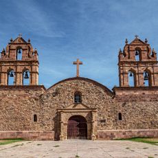
Chilla-Kimsa Chata mountain range, Mountain range in La Paz Department, Bolivia.
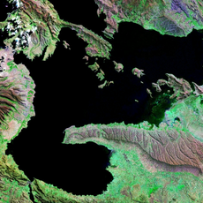
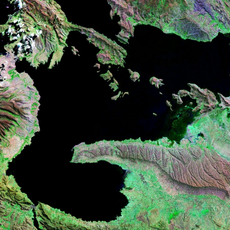
Chilla-Kimsa Chata is a mountain range in Ingavi Province, La Paz Department, Bolivia, southeast of Wiñaymarka Lake, the southern part of Lake Titicaca. It runs from north to south-east, almost parallel to the Taraco range, with the Wakira River in the valley between them and the Jach'a Jawira along its southern slopes. Its highest point reaches 4,825 metres; the Kimsa Chata complex rises to 4,735 metres about 15 km south of Tiwanaku.
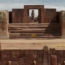
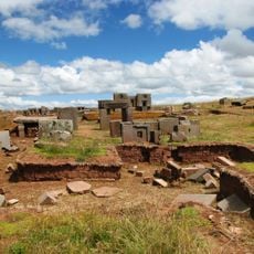
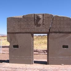
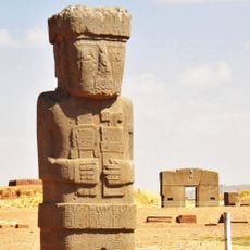
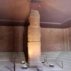
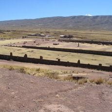
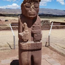
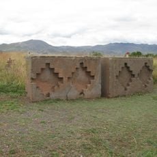
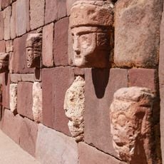
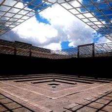
This mountain range lies near Tiwanaku, a major pre-Columbian city that was an important center of ancient civilizations in the region. Its proximity to this archaeological site shows how mountain areas have been part of human settlement since ancient times.
The name comes from Aymara and Quechua languages, meaning 'three mountains,' and reflects how local people have traditionally viewed this landscape. This naming speaks to the indigenous heritage that remains part of daily life in the surrounding region.
Local guides know the different routes through the varied terrain and can lead the way safely. Multiple access points from nearby towns mean visitors can choose an entry point suited to their ability and available time.
The range takes its name from the Kimsa Chata complex, which rises to 4,735 m about 15 km south of Tiwanaku. The Chinese Wikipedia entry gives the range's highest point as 4,825 m, so the two figures differ. Jach'a Jawira runs along the southern slopes of the range.
The community of curious travelers
AroundUs brings together thousands of curated places, local tips, and hidden gems, enriched daily by 92,892 contributors worldwide.