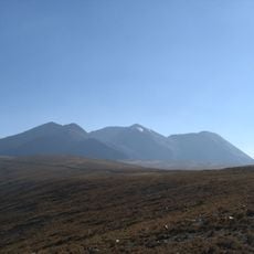
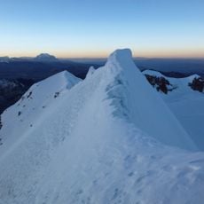
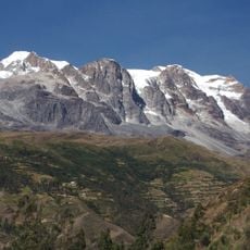
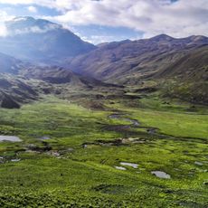
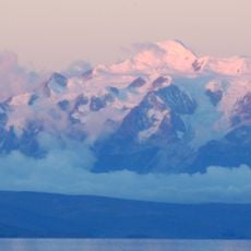
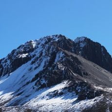
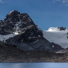
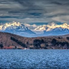
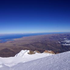
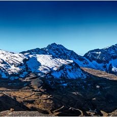
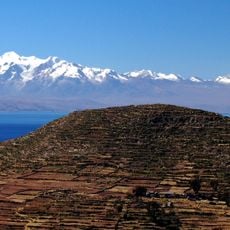
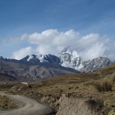
Calzada, Mountain summit in Bolivia.
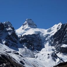
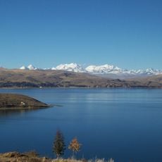
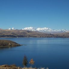
Calzada is a 5,874 m (19,272 ft) mountain in the Cordillera Real of the Bolivian Andes, in Larecaja Province, La Paz Department, on the border of the Sorata and Guanay municipalities. It stands south-east of Ancohuma, between Q'asiri to the north-west and Chearoco to the south-east, and east of San Francisco Lake. Its name may come from Aymara qalsa, stones, or from Spanish calzada, road.
Calzada was first climbed in 1962, according to Bolivian records. The peak lies on the border of the Sorata and Guanay municipalities in Larecaja Province, La Paz Department, between Q'asiri to the north-west and Chearoco to the south-east, south-east of Ancohuma and east of San Francisco Lake. Its name may derive from Aymara qalsa, stones, or from Spanish calzada, road.
The name Calzada may derive from the Aymara word qalsa, meaning stones, or from the Spanish calzada, meaning road. The summit rises between Q'asiri to the north-west and Chearoco to the south-east, near San Francisco Lake, in the territory of the Sorata and Guanay municipalities.
Calzada lies on the border of the Sorata and Guanay municipalities in Larecaja Province, La Paz Department, between Q'asiri to the north-west and Chearoco to the south-east, with San Francisco Lake to the west. Approach routes come from the Sorata side. The summit was first climbed in 1962, so plan for sustained high-altitude travel above 5,800 m.
Calzada's name may come from Aymara qalsa, meaning stones, or from the Spanish word for road. The summit was first climbed in 1962. It rises to 5,874 m between Q'asiri to the north-west and Chearoco to the south-east, just east of San Francisco Lake.
The community of curious travelers
AroundUs brings together thousands of curated places, local tips, and hidden gems, enriched daily by 94,733 contributors worldwide.