Cotapata National Park and Integrated Management Natural Area, National park in La Paz Department, Bolivia
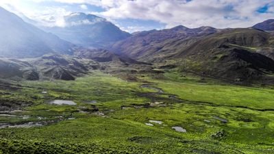
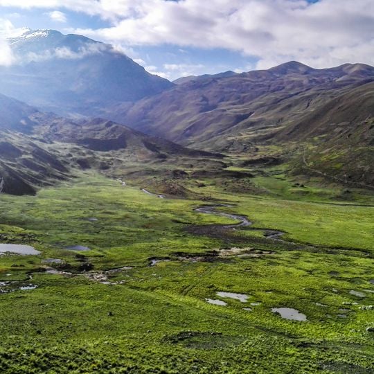
Cotapata National Park and Integrated Management Natural Area runs from the peaks of Manquilizani (5,324 m), Telata (5,336 m) and Illampu (5,519 m) down to the Huarinilla and Elena rivers at about 1,000 m, a drop of some 4,500 m in just over 40 km. Most of the surface is Ordovician marine rock, cut by glacial valleys, moraines and waterfalls. Cloud forest and Yungas forest cover the largest part.
The park was established in 1993 to protect the natural ecosystems of the Yungas region. This protected status marked a turning point for conservation in this biologically rich area.
The park takes in the pre-Columbian El Choro road, a paved Inca-era route through the Yungas that was one of the archaeological values cited when the protected area was enlarged to about 60,000 hectares. Communities inside the area, such as those around the Tunquini biological station, took part in participatory planning from 2003 aimed at rural development.
Buses connect La Paz to the park entrance via mountain roads, requiring about two hours of travel to the northwest. Weather conditions change rapidly with elevation, so bring appropriate gear for rain and temperature shifts.
The protected area spans roughly 40 km of horizontal distance while climbing almost 4,500 m, from the Huarinilla and Elena river confluence near 1,000 m to the summits of Illampu (5,519 m) and Telata (5,336 m). Cloud forest here receives about 4,000 mm of rain a year, mostly between 2,000 and 3,000 m.
The community of curious travelers
AroundUs brings together thousands of curated places, local tips, and hidden gems, enriched daily by 94,329 contributors worldwide.